
Cambrian Uplands: Aberystwyth to Rhayader
Head inland from Aberystwyth through Ponterwyd and the Cambrian uplands towards Llangurig, then turn south to Rhayader. This is a broad mountain-country crossing using public main roads rather than reservoir access lanes.
Aberystwyth to Rhayader · Ceredigion and Powys, Wales · 36 miles · 54 minutes estimated driving · Point-to-point
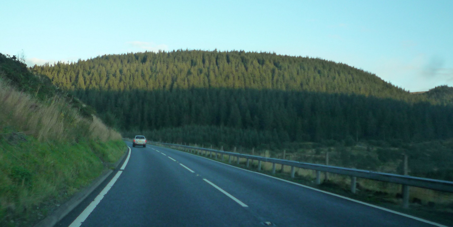
Photo: @ Fabian Musto / Geograph
Highlights along the way
Cambrian upland road
The A44 climbs inland from the coastal side into broad upland country around Ponterwyd and Llangurig.
Before you set off
Allow for heavy vehicles, exposed weather and changing visibility. Reservoir visits and forest tracks are separate from the calculated driving route. Check current closures and conditions before travel. Estimated time excludes stops and live traffic. Points are through-road references, not parking. Optional town visits may require a separate detour.