Drives / Bannau Brycheiniog, Wales / Black Mountain and Cray Reservoir Grand Loop
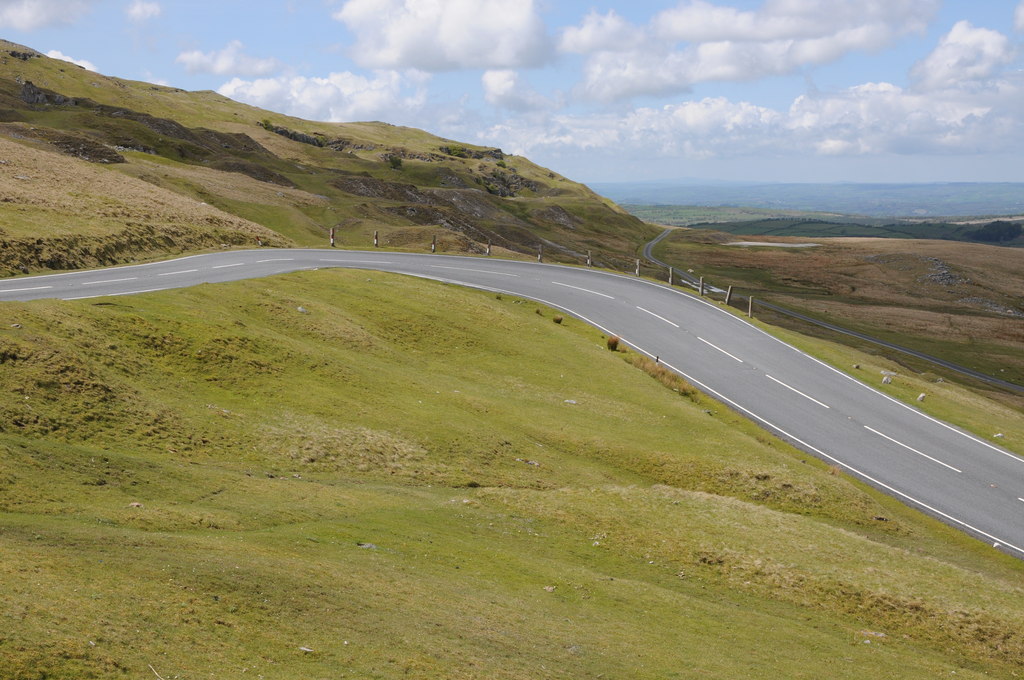
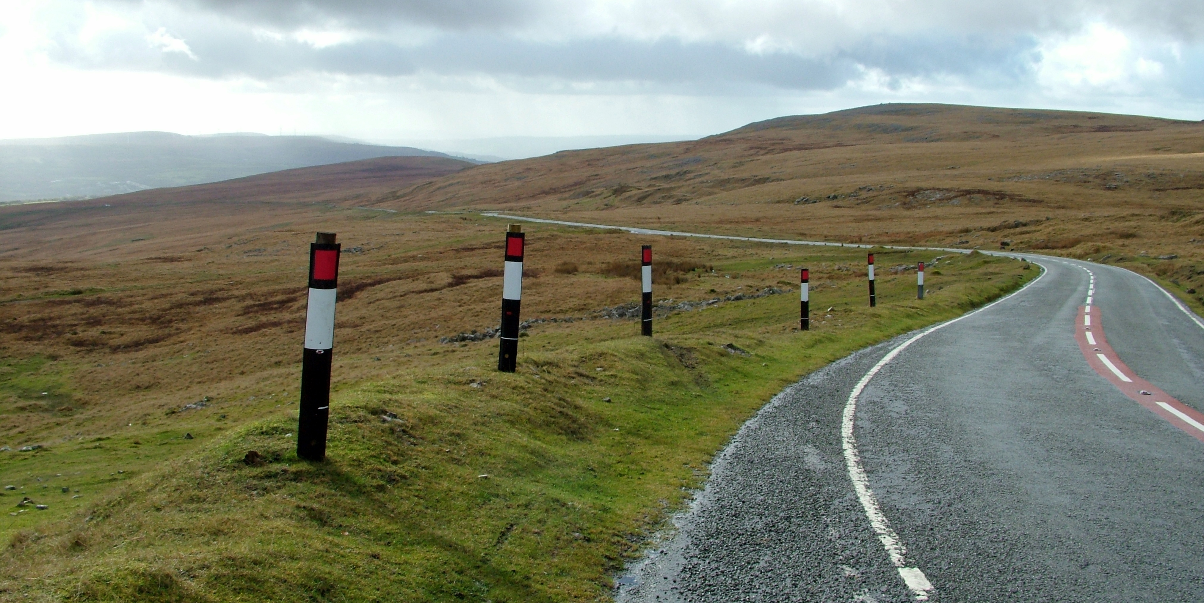
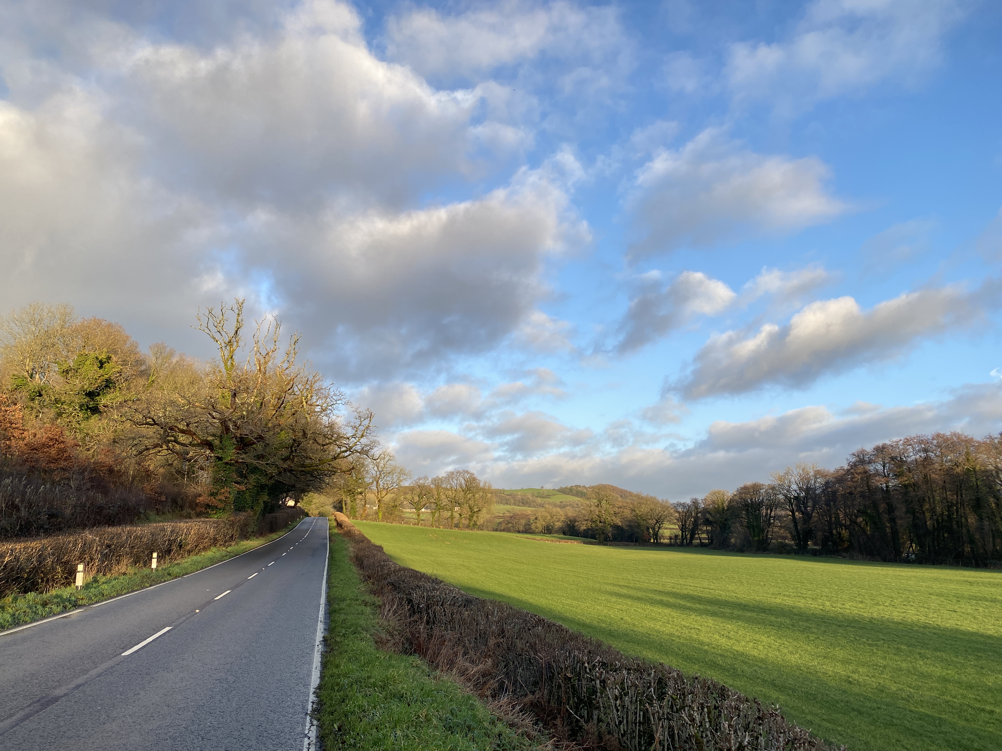
Black Mountain and Cray Reservoir Grand Loop road scenery
Remapped approved

Black Mountain and Cray Reservoir Grand Loop

Combine the A4069 Black Mountain crossing with the A4067 past the Cray country, returning along the A40. This middle-length circuit focuses on the two broad mountain-road sides without the extra eastern valleys of the Brecon grand tour.

54 miDistance
1 hr 48 minEstimated drive
CircularRoute type

Customise this route ↗Make your own version. Sign in to customise and save.

CircularShort drive
Area
Driving roads near Llangadog. Nearby visits are optional.
Notable roads
A4069 · A4068 · A4067 · B4599 · A40
Near
Llangadog · Cardiff · Swansea · Abergavenny
Route status
Remapped approved
Last reviewed
22 October 2026
Make time for the stops

Highlights along the way

Black Mountain Pass

The route follows public through-roads in this landscape. Viewpoints and visits away from the line are optional.

Before you set off

Expect ordinary local traffic, changing surfaces and village limits. Allow extra time for independent breaks. Check current road closures, vehicle suitability and weather before travel. Driving time excludes stops and live traffic. The route follows through-roads; all visits off the line are independent optional detours.

Get to know the roads

Explore the drive

Pan and zoom to explore the route before you set off.

Before you head out

Frequently asked questions

A little help planning your drive.

Does the estimated driving time include stops?

The estimated 1 hr 48 min is driving time only. Allow extra time for viewpoints, breaks and visits. Live traffic, weather and road conditions can change the journey time.

Does this drive bring me back to the start?

Yes. This is a circular route that returns to the starting area. Check the mapped start and finish points when planning your journey.

Can I start somewhere else or change the stops?

Yes. Customise this route to change the start, finish or stops, or build it into a multi-day road trip. Sign in to save your own version.

Are the start and finish points parking locations?

Not necessarily. They mark the route’s driving references and are not a guarantee of parking or a suitable place to stop. Check parking arrangements separately and only stop where it is safe and permitted.

What should I know before setting off?

Read the Before you set off notes for this drive, then check current road closures and conditions. The notes highlight route-specific considerations; they are not a live road-status report.

What does Remapped approved mean?

“Remapped approved” means a route has been selected and approved by Remapped. We use a combination of driving routes ourselves, scouting locations, prior knowledge and detailed research. The mix varies by route: approval does not mean every road has been personally driven. Road-image locations are confirmed using GPS data.