
Elan Valley Mountain Road and Devils Bridge Loop
Cross from the Elan Valley to Cwmystwyth on the mountain road, then continue along the B4574 towards Devil’s Bridge. Return by the A44 for a coherent upland circuit without reservoir visitor-centre or dam-access spurs.
Driving roads near Rhayader. Nearby visits are optional. · 42 miles · 84 minutes estimated driving · Circular
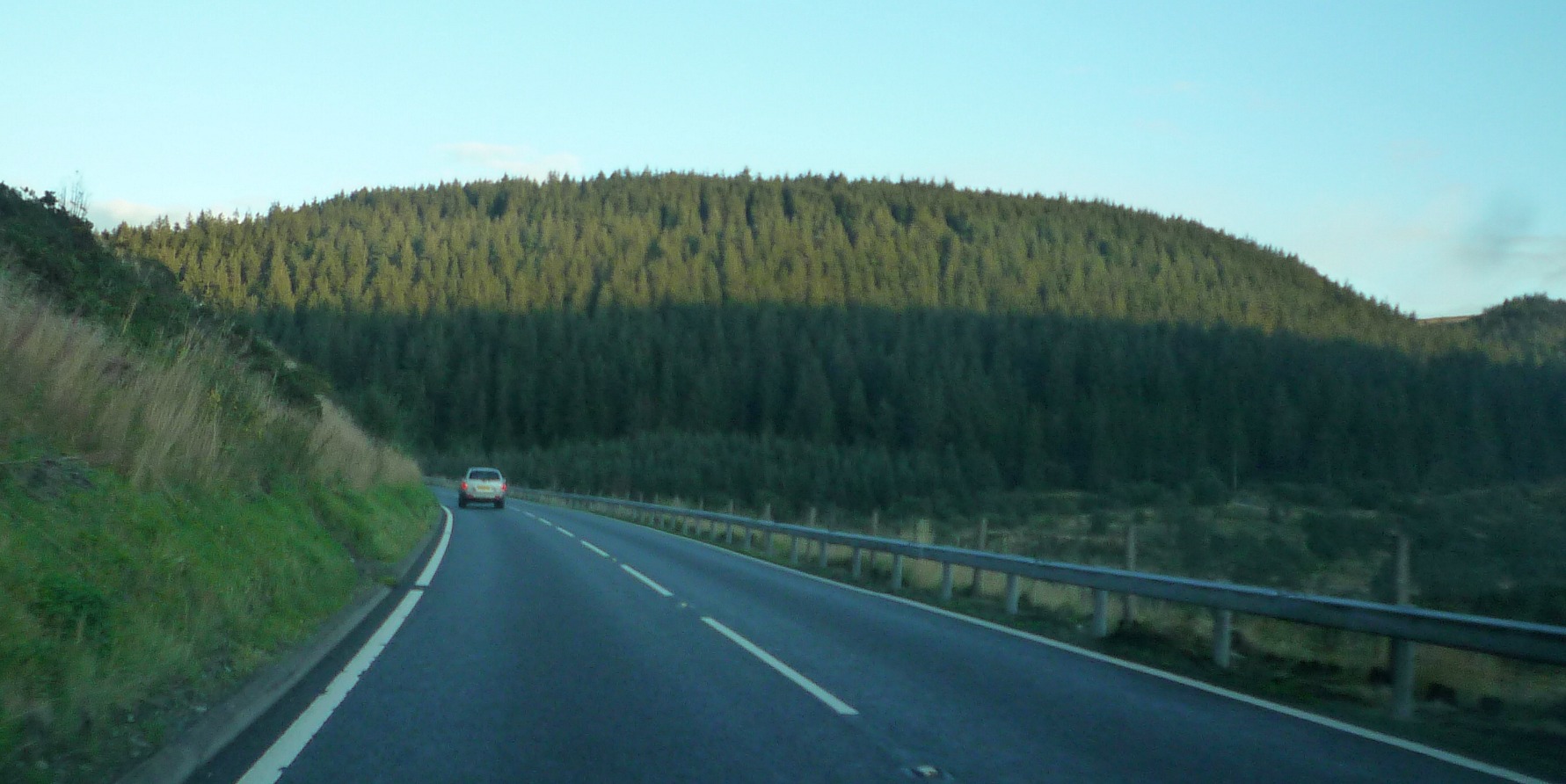
Photo: @ Fabian Musto / Geograph
Highlights along the way
Elan Valley
The public mountain-road corridor crosses from the Elan country towards Cwmystwyth.
Cwmystwyth
The mountain road drops into the upper Ystwyth valley near the former mining landscape.
Before you set off
The mountain road is narrow and exposed. Do not use forestry or reservoir service tracks; check conditions before committing to the crossing. Check current road closures, vehicle suitability and weather before travel. Driving time excludes stops and live traffic. The route follows through-roads; all visits off the line are independent optional detours.