
Tan Hill, Swaledale and Mallerstang Driving Loop
Link the Tan Hill road with Swaledale, Buttertubs and the B6259 through Mallerstang. The circuit shifts between exposed uplands and enclosed valley scenery, making a substantial Dales drive without town-centre sightseeing spurs.
Driving roads near Kirkby Stephen. Nearby visits are optional. · 56 miles · 134 minutes estimated driving · Circular
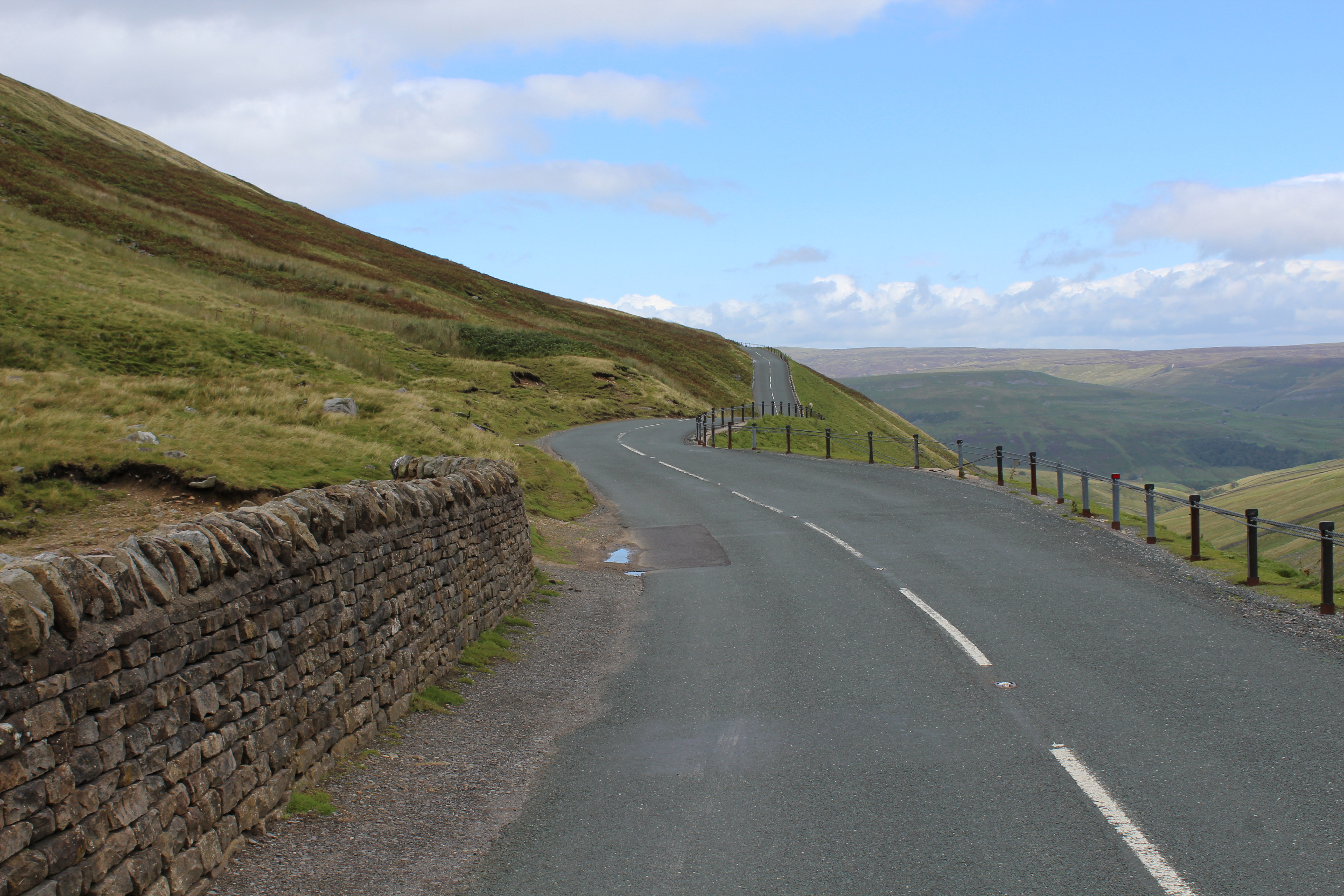
Photo: @ Chris Heaton / Geograph
Highlights along the way
Tan Hill
The moorland through-road reaches the high inn area; entering the pub car park is optional.
Mallerstang
The B6259 runs through the valley beneath the eastern Cumbrian fells.
Before you set off
Tan Hill is a through-road reference, not a pub car-park stop. High roads can be severe in winter; allow for livestock and cyclists. Check current road closures, vehicle suitability and weather before travel. Driving time excludes stops and live traffic. The route follows through-roads; all visits off the line are independent optional detours.