
Bwlch y Groes and Lake Vyrnwy Mountain Loop
Link Bwlch y Groes with the Lake Vyrnwy roads and the B4391 Berwyn crossing for a demanding upland circuit. The route follows mountain through-roads rather than attraction entrances or a reservoir car-park tour.
Driving roads near Bala. Nearby visits are optional. · 60 miles · 144 minutes estimated driving · Circular
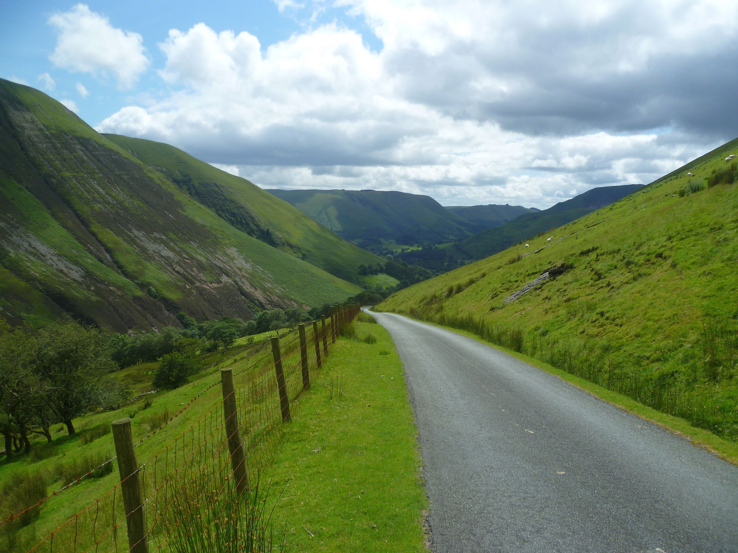
Photo: @ Michael Graham / Geograph
Highlights along the way
Bwlch y Groes
A very steep single-track pass links the Llanuwchllyn and Dinas Mawddwy sides.
Lake Vyrnwy
The eastern return uses the public reservoir-country roads before the Berwyn crossing.
Before you set off
Very steep, narrow and exposed roads demand a suitable vehicle and settled conditions. Lake access and dam visits are independent optional stops. Check current road closures, vehicle suitability and weather before travel. Driving time excludes stops and live traffic. The route follows through-roads; all visits off the line are independent optional detours.