
South West Coastal 300: Coast and Southern Uplands
Follow the established South West Coastal 300 driving track through the Galloway coast, Solway country, southern uplands and Ayrshire. This complete multi-day draft follows the tourism authority’s published roads with optional stop spurs removed, with town and landscape visits planned around the journey.
Driving roads near Stranraer and Dumfries and Ayr. Town and attraction visits are optional. · 313 miles · 605 minutes estimated driving · Circular
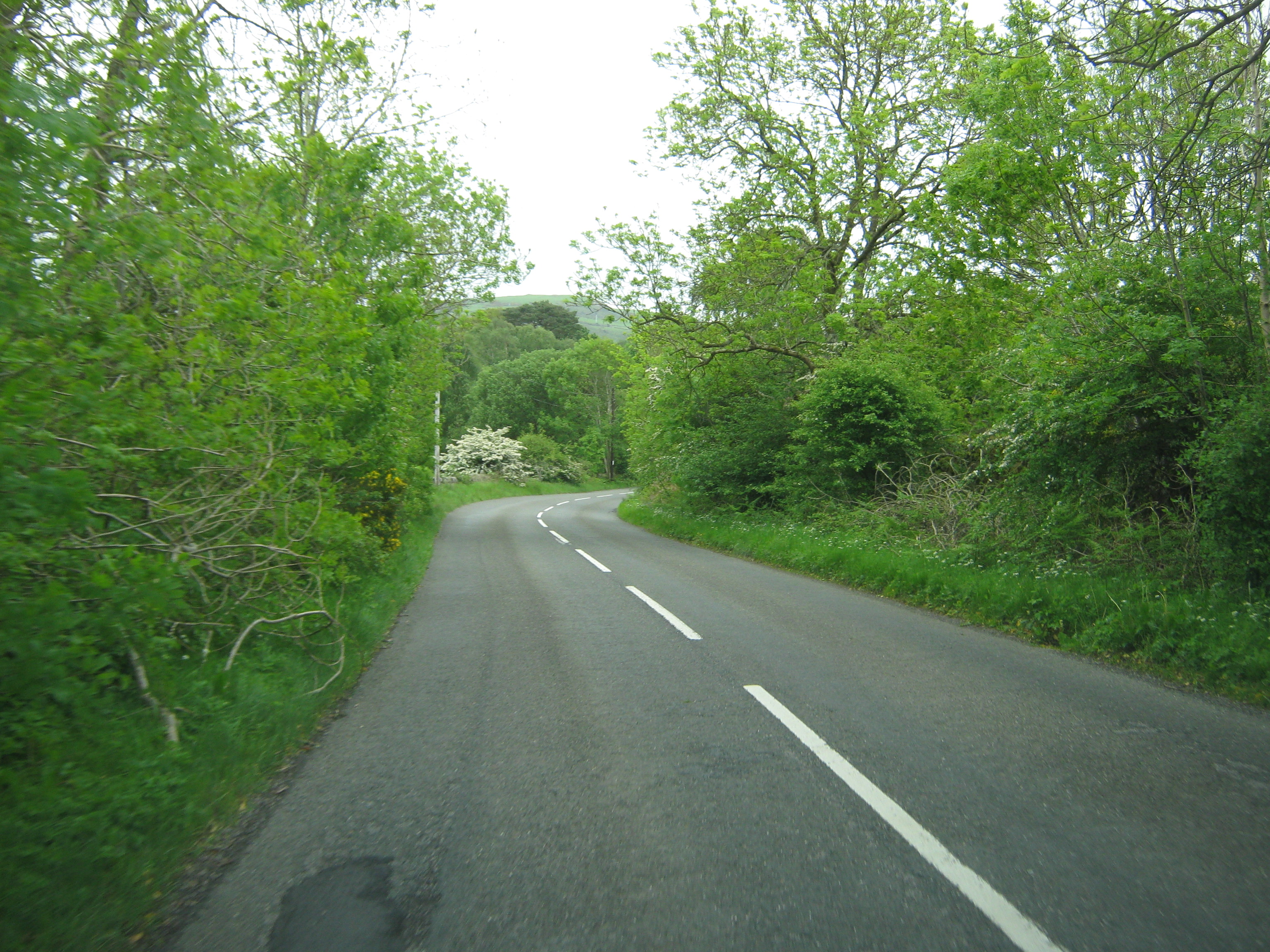
Photo: @ Ann Cook / Geograph
Highlights along the way
Solway and Galloway coast
The southern section links coastal settlements with the country roads between them.
Ayrshire coast
The western and northern legs pass through the coastal corridor towards Alloway.
Southern uplands
The inland return provides a change from the sea-facing roads.
Before you set off
Allow several days, with overnight stops and fuel planning. The line follows the publicly supplied Scotland Starts Here SWC300 driving GPX checked on 15 October 2026; its measured length differs from the rounded 300 name. Wheel-time is a rough estimate using an average of 50 km/h, not live routing or traffic. Check current closures, restrictions, attraction access and vehicle suitability. Destination visits may involve separate parking or walking. Optional town and attraction visits are separate from the driving line. Short backtracking excursions have been removed from the authority GPX. Distance and driving-time estimates are adjusted to the retained track.