
Trough of Bowland and Ribble Valley Driving Loop
Build a complete outing around the Trough of Bowland, using the Ribble Valley and northern Bowland lanes to close the circuit. The open fell crossing is the centrepiece, with woodland and river-country approaches either side.
Driving roads near Clitheroe. Nearby visits are optional. · 43 miles · 85 minutes estimated driving · Circular
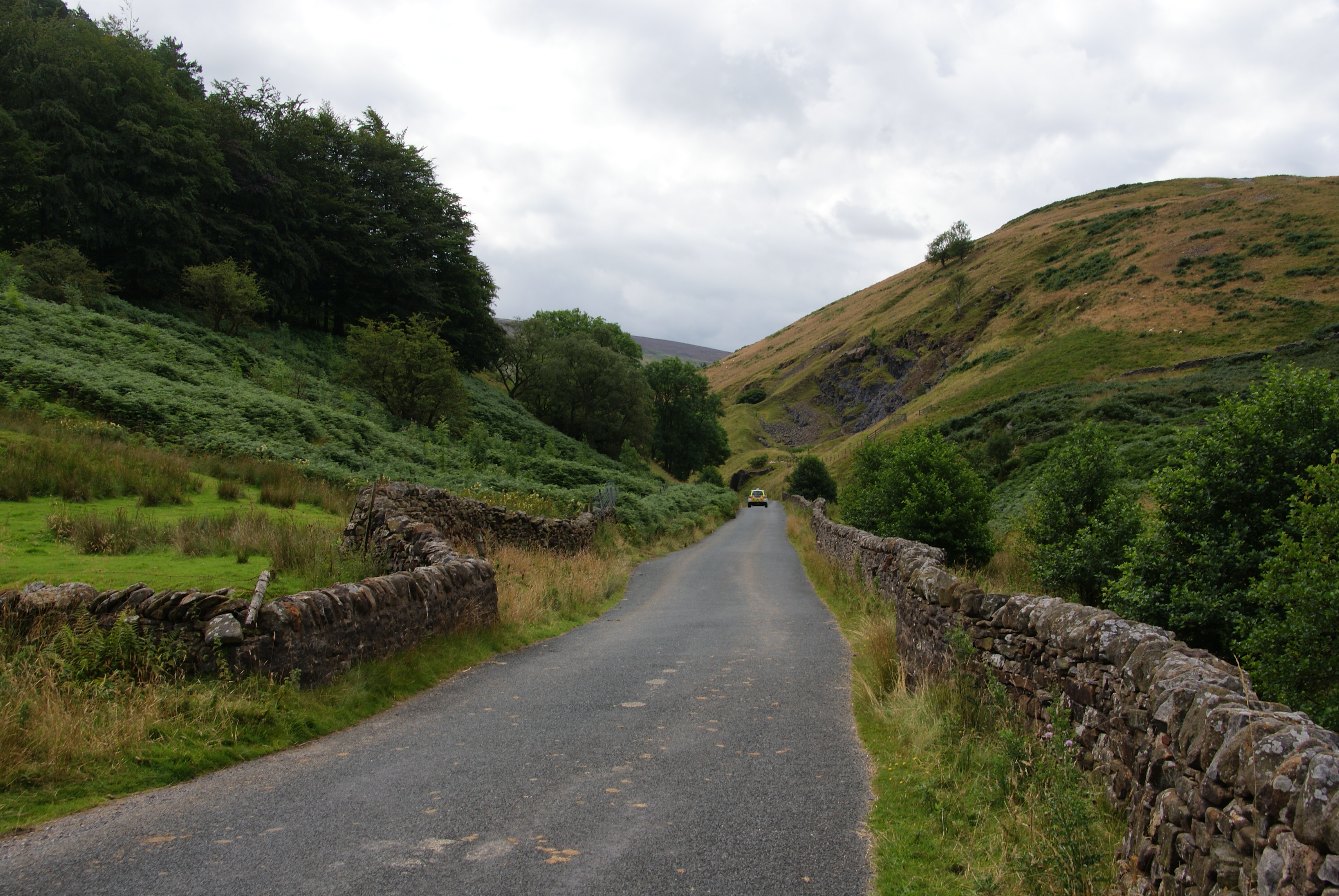
Photo: @ Bill Boaden / Geograph
Highlights along the way
Trough of Bowland
The narrow fell road crosses the upland gap between the Dunsop Bridge and Quernmore sides.
Ribble Valley
The lower valley roads provide the approach to the Bowland fell section.
Before you set off
Fell roads are narrow and livestock roam freely. Stop only in appropriate signed places; farm and forestry access are excluded. Check current road closures, vehicle suitability and weather before travel. Driving time excludes stops and live traffic. The route follows through-roads; all visits off the line are independent optional detours.