
Lincolnshire Wolds: Caistor High Street Driving Loop
Use Caistor High Street and the Wolds’ rolling road network for a broad Lincolnshire circuit. The B1225 supplies the distinctive ridge-road section, with Louth and Horncastle acting as area references rather than compulsory town stops.
Driving roads near Caistor. Nearby visits are optional. · 60 miles · 103 minutes estimated driving · Circular
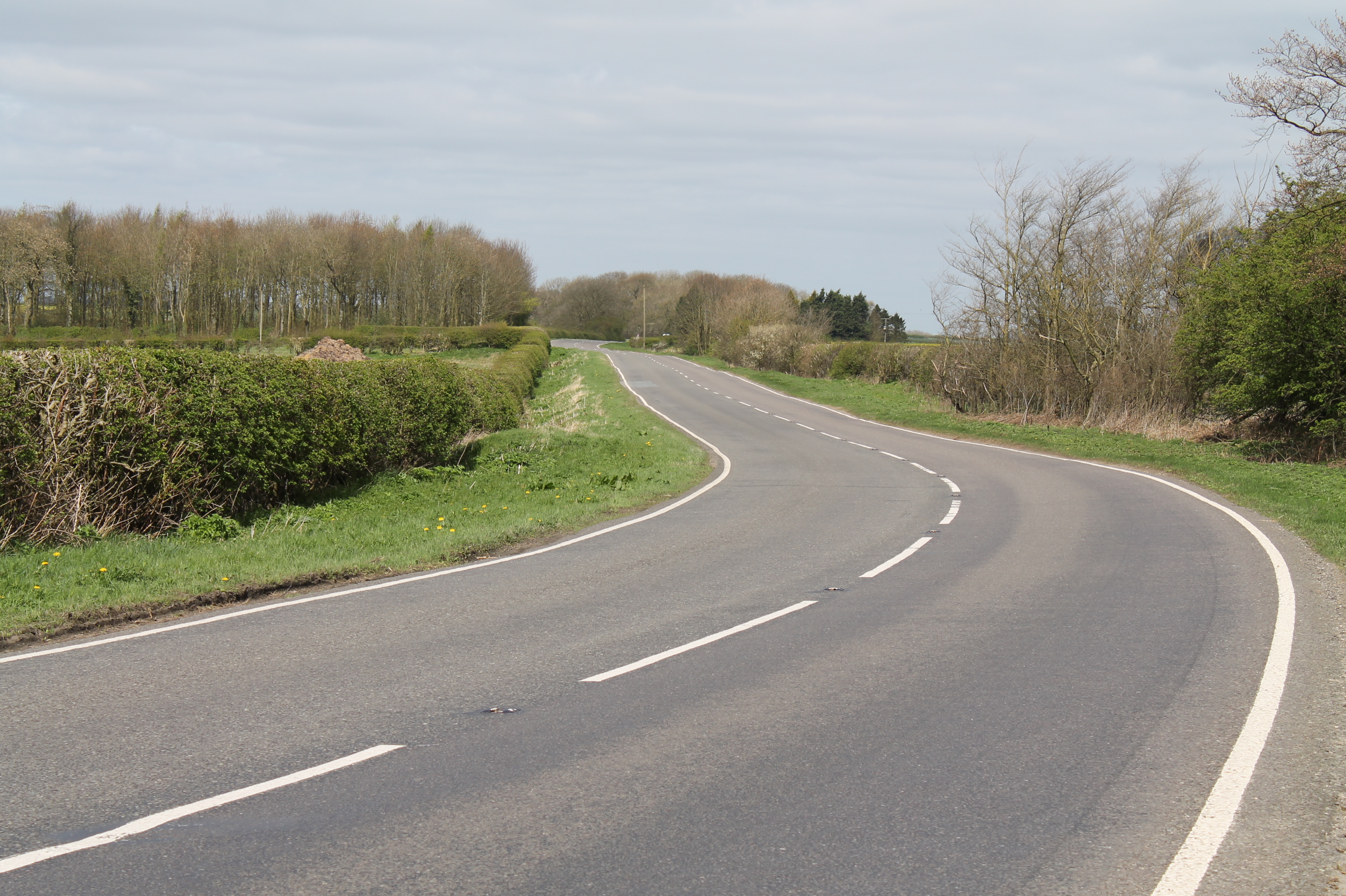
Photo: @ J.Hannan-Briggs / Geograph
Highlights along the way
Caistor High Street
The B1225 ridge-road section gives the circuit its distinctive Wolds character.
Lincolnshire Wolds
The circuit links ridge roads and lower rural approaches around the Louth and Horncastle areas.
Before you set off
Watch for agricultural vehicles, exposed crosswinds and junctions beyond crests. Keep the route on classified through-roads. Check current road closures, vehicle suitability and weather before travel. Driving time excludes stops and live traffic. The route follows through-roads; all visits off the line are independent optional detours.