
Much Wenlock, Corvedale and Ape Dale Driving Loop
Leave Much Wenlock on the B4378, cross into Corvedale, then return through the lanes of Ape Dale and the B4371. This compact loop adds the valley roads south of the existing Wenlock Edge through-drive, without a return over the same stretch.
Driving roads near Much Wenlock. Nearby visits are optional. · 22 miles · 53 minutes estimated driving · Circular
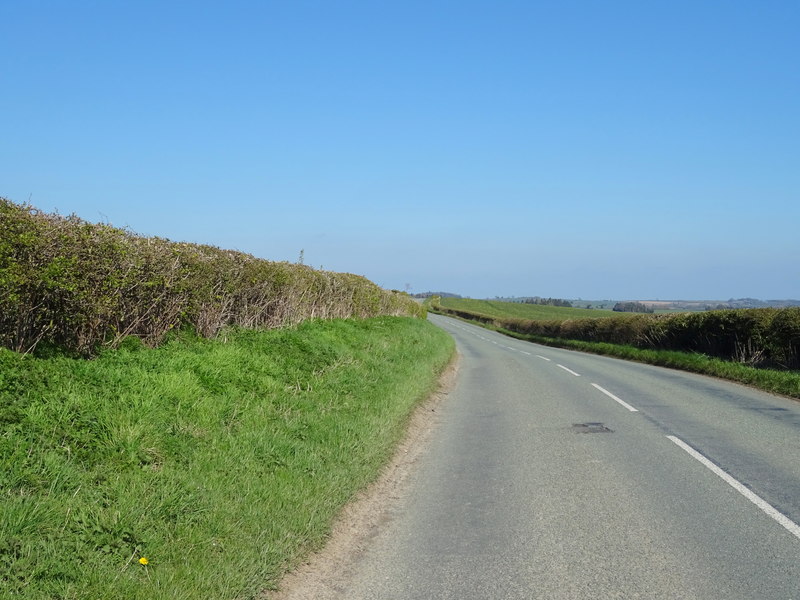
Photo: @ JThomas / Geograph
Highlights along the way
Ape Dale
The quieter valley lanes link Rushbury and Longville, contrasting with the numbered-road approaches.
Wenlock Edge
The returning B4371 runs beside the limestone ridge; woodland walks remain optional.
Before you set off
Some valley lanes are narrow and carry agricultural traffic. Check surfaces and visibility at rural junctions; no stop or attraction entrance is a compulsory waypoint. Check current road closures, vehicle suitability and weather before travel. Driving time excludes stops and live traffic. The route follows through-roads; all visits off the line are independent optional detours.