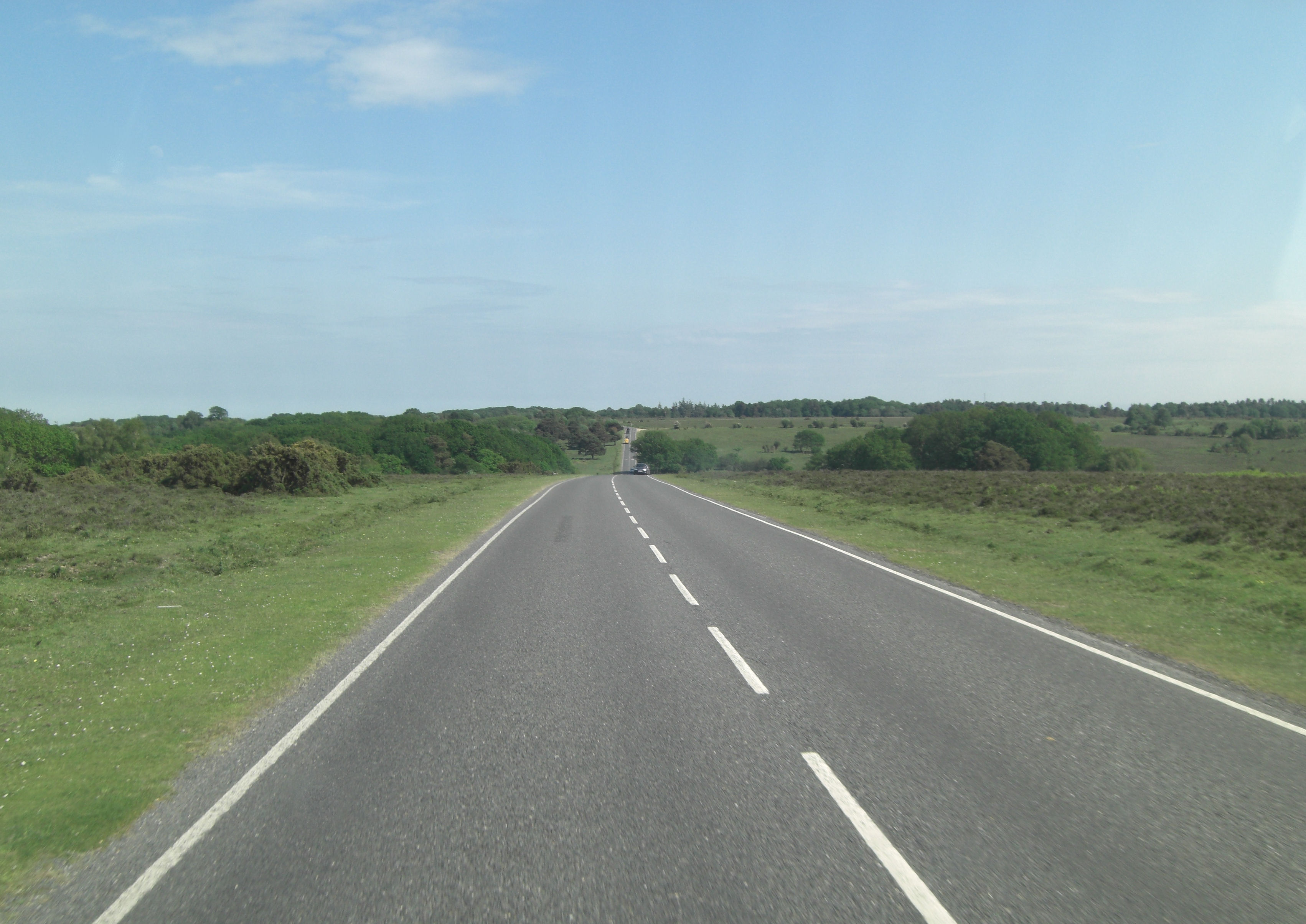
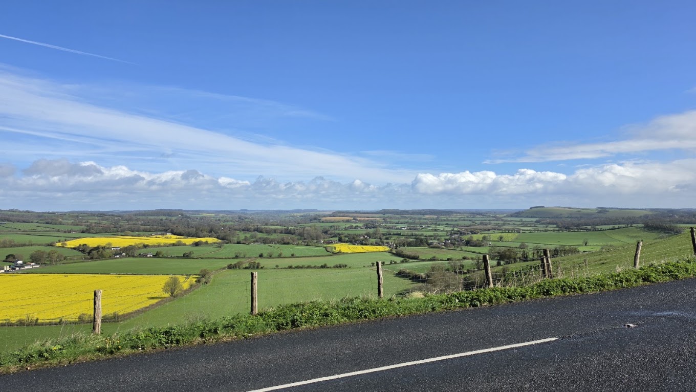
A little inspiration for the road

Scenic drives near Alton

Discover the closest published Remapped drives to Alton, England. Routes are ordered by their nearest point to the town centre and may start elsewhere. Distances to routes are approximate straight-line distances, not driving distances. Roads featured include A32, A272, B2070.

Search another place or use my location ↗

13–78 milesRoute distances
18–131 minEstimated driving
4Circular routes

Short on time? B4494: Wantage over the Downs to Newbury has the shortest estimated drive in this collection, at 18 minutes before stops.

8 drives to exploreAll collections →
Hampshire, England

The A32: Alton through the Meon Valley to Wickham

21 miles33 minPoint-to-point

Closest point on route: 1 miles from Alton · straight-line distance

Travel down the A32 from Alton through East Tisted and the Meon Valley towards Wickham. This established local driving corridor offers a longer north–south outing through Hampshire’s villages and chalk-country approaches.

Along the way
  • Meon valley corridor
View drive
West Sussex and Hampshire, England

Petworth to Petersfield on the A272

18 miles32 minPoint-to-point

Closest point on route: 9 miles from Alton · straight-line distance

Follow a classic southern driving road west through the wooded and pastoral country around Midhurst and Rogate. The A272 supplies the changing bends and village approaches on this manageable point-to-point outing.

Along the way
  • Midhurst and Cowdray
View drive
Hampshire and Sussex, England

The A272: Winchester to the Sussex Weald

78 miles2 hr 11 minPoint-to-point

Closest point on route: 10 miles from Alton · straight-line distance

Make a full touring day of the A272 corridor, linking the Hampshire Downs with the wooded Sussex Weald. This extended road journey has several market-town pauses and distinctly different landscapes along its length.

Along the way
  • Hampshire Downs
  • Petworth
View drive
Surrey and West Sussex, England

Wey and Arun Country Roads: Surrey–Sussex Grand Loop

37 miles1 hr 30 minCircular

Closest point on route: 15 miles from Alton · straight-line distance

Make a longer circuit south of Guildford, combining the Cranleigh roads and B2133 through Loxwood with the A283 return through Chiddingfold. A road-led Surrey–Sussex outing with enough contrast for a relaxed half-day including your own stops.

Along the way
  • Wey and Arun countryside
  • Petworth
View drive
Oxfordshire and Berkshire, England

White Horse Downs and Lambourn Loop

46 miles1 hr 7 minCircular

Closest point on route: 24 miles from Alton · straight-line distance

Circle the downland west of Wantage through Ashbury and Lambourn, returning by Newbury and the B4494. This gives a longer combination of established local driving roads and small-town approaches.

Along the way
  • White Horse country
  • Lambourn Downs
View drive
Oxfordshire and Berkshire, England

B4494: Wantage over the Downs to Newbury

13 miles18 minPoint-to-point

Closest point on route: 24 miles from Alton · straight-line distance

Take the documented B4494 driving road south from Wantage over the downs. This short point-to-point route centres on the changing gradients and rural road rather than a long list of stops.

Along the way
  • Berkshire Downs crossing
View drive
Surrey, England

Ranmore Common and the North Downs Loop

17 miles37 minCircular

Closest point on route: 25 miles from Alton · straight-line distance

Climb from Dorking onto the wooded Ranmore ridge and make a compact circuit through the Effingham side of the North Downs. The return drops towards the A25 valley corridor.

Along the way
  • Ranmore Common
View drive
Surrey, England

Ranmore Common, Leith Hill and Surrey Hills Loop

23 miles56 minCircular

Closest point on route: 25 miles from Alton · straight-line distance

Cross the wooded North Downs around Ranmore Common, then follow the Surrey Hills lanes through Abinger and Coldharbour. The circuit links two distinct stretches of hill country, keeping woodland walks and the Leith Hill tower separate from navigation.

Along the way
  • Ranmore Common
  • Leith Hill countryside
View drive
Make a day of it.

Driving times exclude stops. Leave time for the views, check each route’s notes and make the journey your own.

Before you head out

Frequently asked questions

About the drives in this collection.

Which drive passes closest to this location?

The A32: Alton through the Meon Valley to Wickham has the closest point on a route in this selection, approximately 1 miles from Alton in a straight line. This is not the distance to the route start or a driving-distance estimate.

Which is the shortest drive in this collection?

B4494: Wantage over the Downs to Newbury is the shortest by route distance, at 13 miles, with an estimated driving time of 18 min. Allow extra time for stops and the journey to the route.

Which is the longest drive in this collection?

The A272: Winchester to the Sussex Weald is the longest by route distance, at 78 miles. Its estimated driving time is 2 hr 11 min, excluding stops and travel to the route.

Are there circular drives in this collection?

4 routes start and finish in the same place, including Wey and Arun Country Roads: Surrey–Sussex Grand Loop. Check the route map to find a convenient starting point.

Can I customise one of these drives?

Yes. Open a drive and choose Customise this route to edit a copy in the road trip planner. Sign in to customise; Premium is required to save your version. You can change stops or plan several days.