A little inspiration for the road

Scenic drives near Woodbridge

Discover the closest published Remapped drives to Woodbridge, England. Routes are ordered by their nearest point to the town centre and may start elsewhere. Distances to routes are approximate straight-line distances, not driving distances. Roads featured include B1079, B1438, A1152.

Search another place or use my location ↗

22–55 milesRoute distances
36–93 minEstimated driving
5Circular routes

Short on time? Norwich to Holt on the B1149 has the shortest estimated drive in this collection, at 36 minutes before stops.

8 drives to exploreAll collections →
Suffolk, England

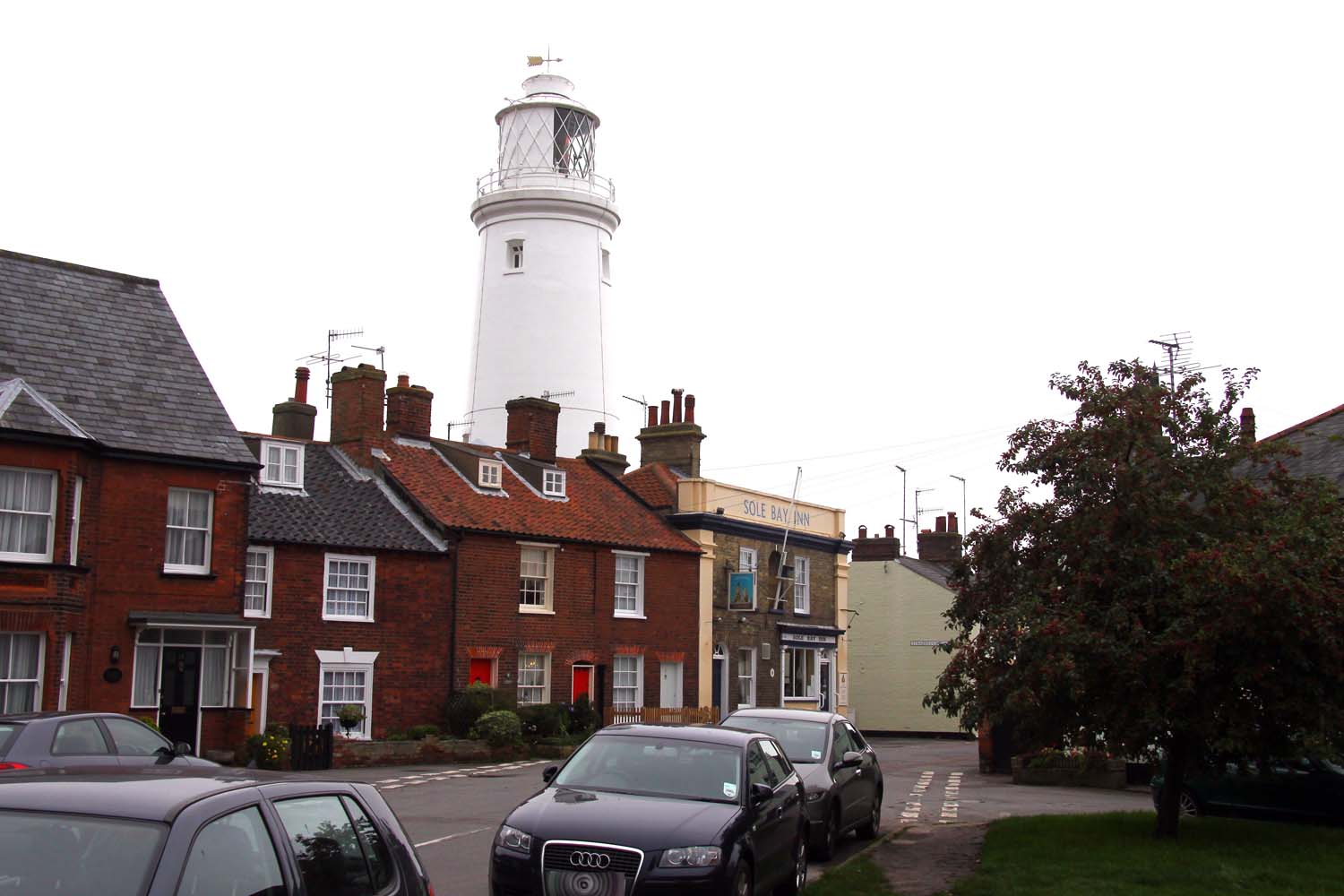
Suffolk Coast: Woodbridge to Southwold

37 miles1 hr 6 minPoint-to-point

Closest point on route: 0 miles from Woodbridge · straight-line distance

Travel north through Suffolk coastal country, linking Orford, Snape and Aldeburgh before finishing at Southwold. Marshes, woodland and villages create a varied touring day without promising a continuous waterfront road.

Along the way
  • Orford
  • Aldeburgh and Southwold
View drive
Suffolk, England

The A1120 Tourist Route to Yoxford

24 miles42 minPoint-to-point

Closest point on route: 9 miles from Woodbridge · straight-line distance

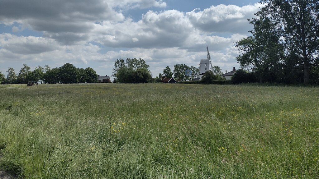
Follow the established A1120 tourist-road corridor across central Suffolk towards Yoxford. Village bends, farmland and small settlements make this a relaxed point-to-point alternative to the larger trunk roads.

Along the way
  • Saxtead Green
View drive
Essex, England

Dedham Vale and Harwich Estuary Loop

38 miles1 hr 8 minCircular

Closest point on route: 12 miles from Woodbridge · straight-line distance

Tour from Dedham Vale along the Stour-side towns towards historic Harwich, returning through the inland countryside and Colchester approaches. The circuit combines estuary stops with rural B-road links.

Along the way
  • Stour estuary
  • Historic Harwich
View drive
Suffolk, England

Newmarket, Lavenham and Long Melford Loop

54 miles1 hr 33 minCircular

Closest point on route: 24 miles from Woodbridge · straight-line distance

Make an East Anglian country circuit from Newmarket through Clare and the Suffolk wool towns. Rural B-road sections alternate with historic settlement approaches and working agricultural country.

Along the way
  • Lavenham
  • Long Melford
View drive
Essex, England

B1057 Finchingfield and North Essex Driving Loop

45 miles1 hr 30 minCircular

Closest point on route: 31 miles from Woodbridge · straight-line distance

Build a full north Essex circuit around the B1057 to Finchingfield, continuing through Wethersfield towards Halstead before returning via the old road through Felsted. This loop is distinct from the existing Cambridge-to-Finchingfield through-drive.

Along the way
  • B1057 countryside
  • Finchingfield
View drive
Norfolk and Suffolk, England

Breckland Forest and Castle Acre Loop

55 miles1 hr 31 minCircular

Closest point on route: 33 miles from Woodbridge · straight-line distance

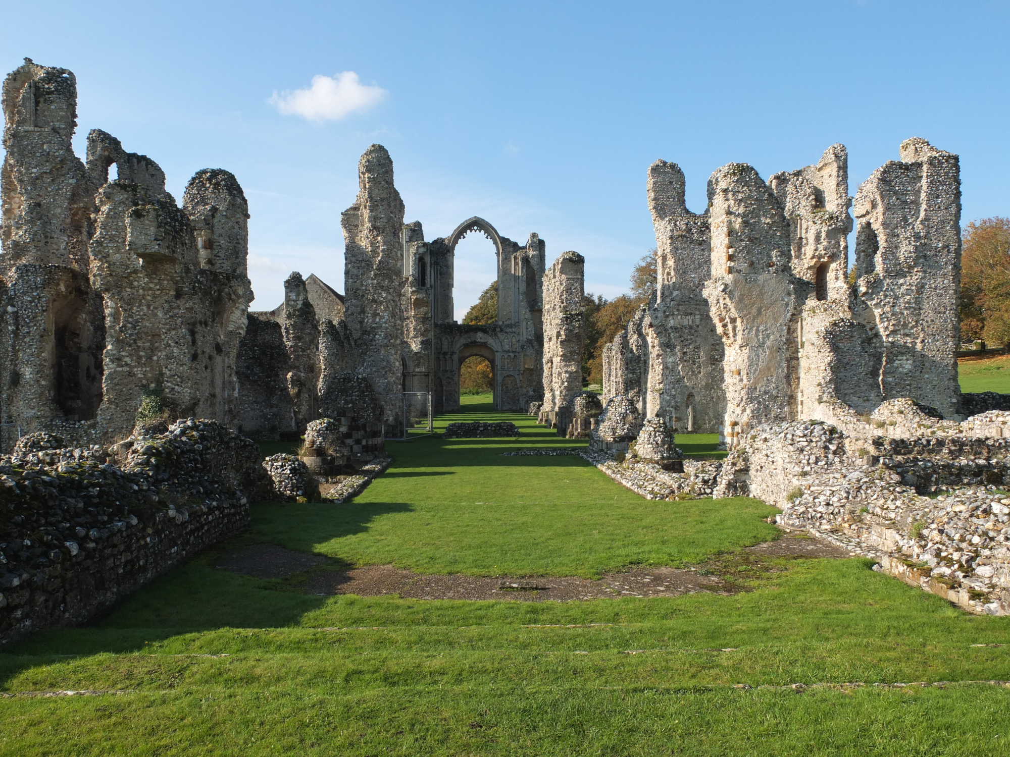
Explore the Breckland side of East Anglia from Thetford, heading through the forest country towards Swaffham and Castle Acre. Return across the Watton countryside for a broad inland circuit.

Along the way
  • Breckland forest roads
  • Castle Acre
View drive
Norfolk, England

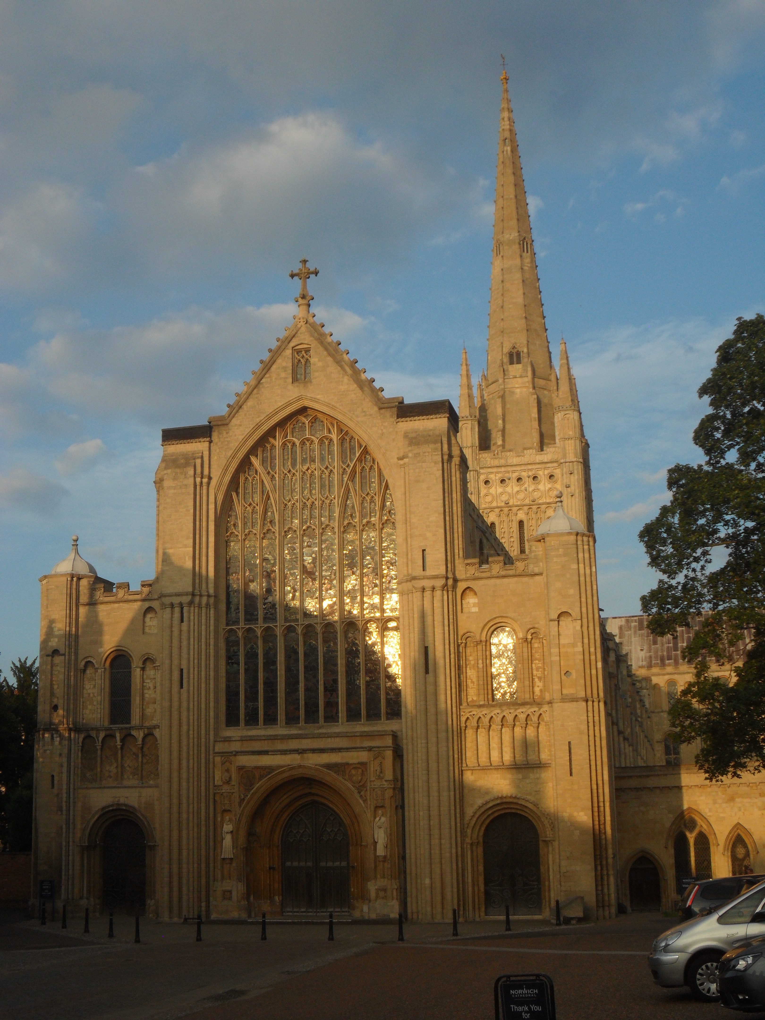
Norwich and the Northern Broads Loop

37 miles1 hr 3 minCircular

Closest point on route: 35 miles from Woodbridge · straight-line distance

Make a circuit from Norwich through Wroxham and the northern Broads villages before returning by the Acle side of the marshes. Waterways lie beside or beyond the roads rather than forming an uninterrupted waterside drive.

Along the way
  • Horning
  • Potter Heigham
View drive
Norfolk, England

Norwich to Holt on the B1149

22 miles36 minPoint-to-point

Closest point on route: 37 miles from Woodbridge · straight-line distance

Leave Norwich on the Holt road and follow the B1149 through the Saxthorpe area into north Norfolk. This is a straightforward shorter country-road outing with Holt as a natural place to finish.

Along the way
  • North Norfolk country road
View drive
Make a day of it.

Driving times exclude stops. Leave time for the views, check each route’s notes and make the journey your own.

Before you head out

Frequently asked questions

About the drives in this collection.

Which drive passes closest to this location?

Suffolk Coast: Woodbridge to Southwold has the closest point on a route in this selection, approximately 0 miles from Woodbridge in a straight line. This is not the distance to the route start or a driving-distance estimate.

Which is the shortest drive in this collection?

Norwich to Holt on the B1149 is the shortest by route distance, at 22 miles, with an estimated driving time of 36 min. Allow extra time for stops and the journey to the route.

Which is the longest drive in this collection?

Breckland Forest and Castle Acre Loop is the longest by route distance, at 55 miles. Its estimated driving time is 1 hr 31 min, excluding stops and travel to the route.

Are there circular drives in this collection?

5 routes start and finish in the same place, including Dedham Vale and Harwich Estuary Loop. Check the route map to find a convenient starting point.

Can I customise one of these drives?

Yes. Open a drive and choose Customise this route to edit a copy in the road trip planner. Sign in to customise; Premium is required to save your version. You can change stops or plan several days.