Drives / Norfolk, England / B1145 Norfolk Driving Road: Bawdeswell to Gayton
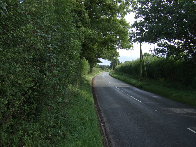
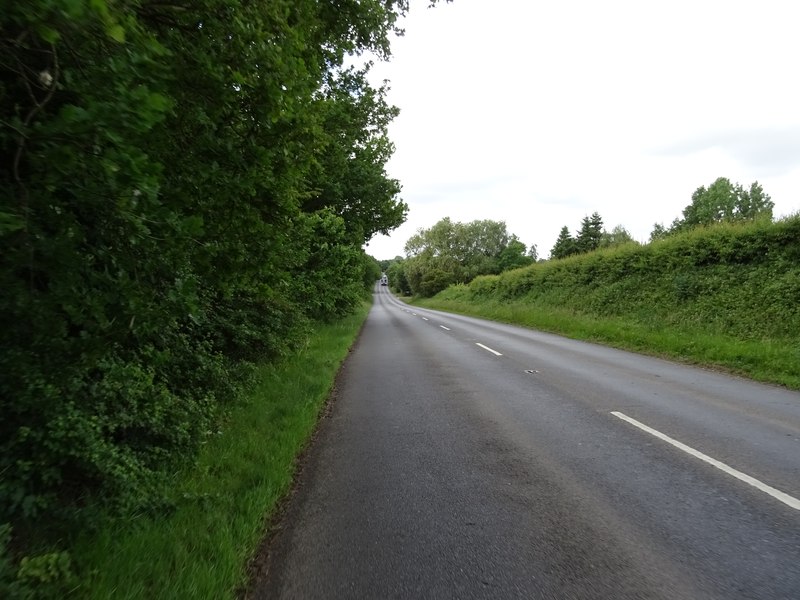
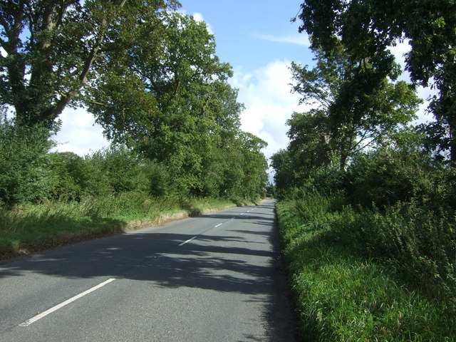
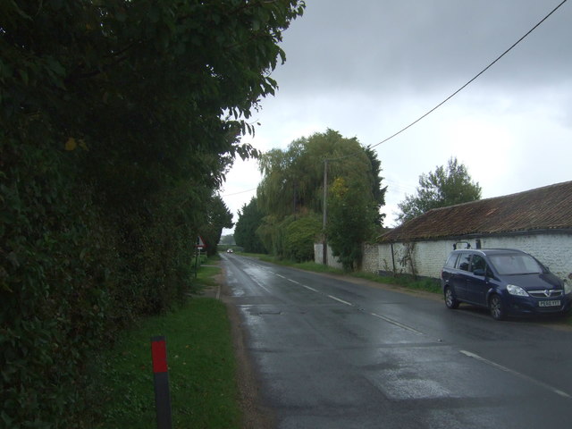
B1145 Norfolk Driving Road: Bawdeswell to Gayton road scenery
Remapped approved

B1145 Norfolk Driving Road: Bawdeswell to Gayton

Choose the much-recommended inland section of the B1145 across Norfolk. This route concentrates on the country road between Bawdeswell and Gayton, omitting the built-up final approach into King's Lynn.

22 miDistance
45 minEstimated drive
Point-to-pointRoute type

Customise this route ↗Make your own version. Sign in to customise and save.

Point-to-pointShort drive
Area
Driving roads near Bawdeswell and Gayton. Nearby visits are optional.
Notable roads
B1145 · A1067 · B1110 · A1065
Near
Bawdeswell · Gayton · Norwich · Kings Lynn · Cambridge
Route status
Remapped approved
Last reviewed
23 October 2026
Make time for the stops

Highlights along the way

Western B1145

The western B1145 provides Norfolk country-road bends between farming villages, with longer open sections towards Gayton.

Before you set off

Farm traffic, concealed side junctions and changing village limits need attention. Coastal stretches can be busy in summer; allow extra time for queues and separate parking. Check current road closures, vehicle suitability and weather before travel. Driving time excludes stops and live traffic. All visits off the driving line are optional independent detours.

Get to know the roads

Explore the drive

Pan and zoom to explore the route before you set off.

Before you head out

Frequently asked questions

A little help planning your drive.

Does the estimated driving time include stops?

The estimated 45 min is driving time only. Allow extra time for viewpoints, breaks and visits. Live traffic, weather and road conditions can change the journey time.

Does this drive bring me back to the start?

No. This is a point-to-point drive, finishing somewhere different from the start. Allow for your onward journey or plan a return route.

Can I start somewhere else or change the stops?

Yes. Customise this route to change the start, finish or stops, or build it into a multi-day road trip. Sign in to save your own version.

Are the start and finish points parking locations?

Not necessarily. They mark the route’s driving references and are not a guarantee of parking or a suitable place to stop. Check parking arrangements separately and only stop where it is safe and permitted.

What should I know before setting off?

Read the Before you set off notes for this drive, then check current road closures and conditions. The notes highlight route-specific considerations; they are not a live road-status report.

What does Remapped approved mean?

“Remapped approved” means a route has been selected and approved by Remapped. We use a combination of driving routes ourselves, scouting locations, prior knowledge and detailed research. The mix varies by route: approval does not mean every road has been personally driven. Road-image locations are confirmed using GPS data. How we choose and approve routes ↗