A little inspiration for the road

Scenic drives near Barnstaple

Discover the closest published Remapped drives to Barnstaple, England. Routes are ordered by their nearest point to the town centre and may start elsewhere. Distances to routes are approximate straight-line distances, not driving distances. Roads featured include B3149, A361, A39.

Search another place or use my location ↗

16–173 milesRoute distances
35–262 minEstimated driving
3Circular routes

Short on time? Bwlch and Rhigos Mountain Roads has the shortest estimated drive in this collection, at 35 minutes before stops.

8 drives to exploreAll collections →
Devon and Cornwall, England

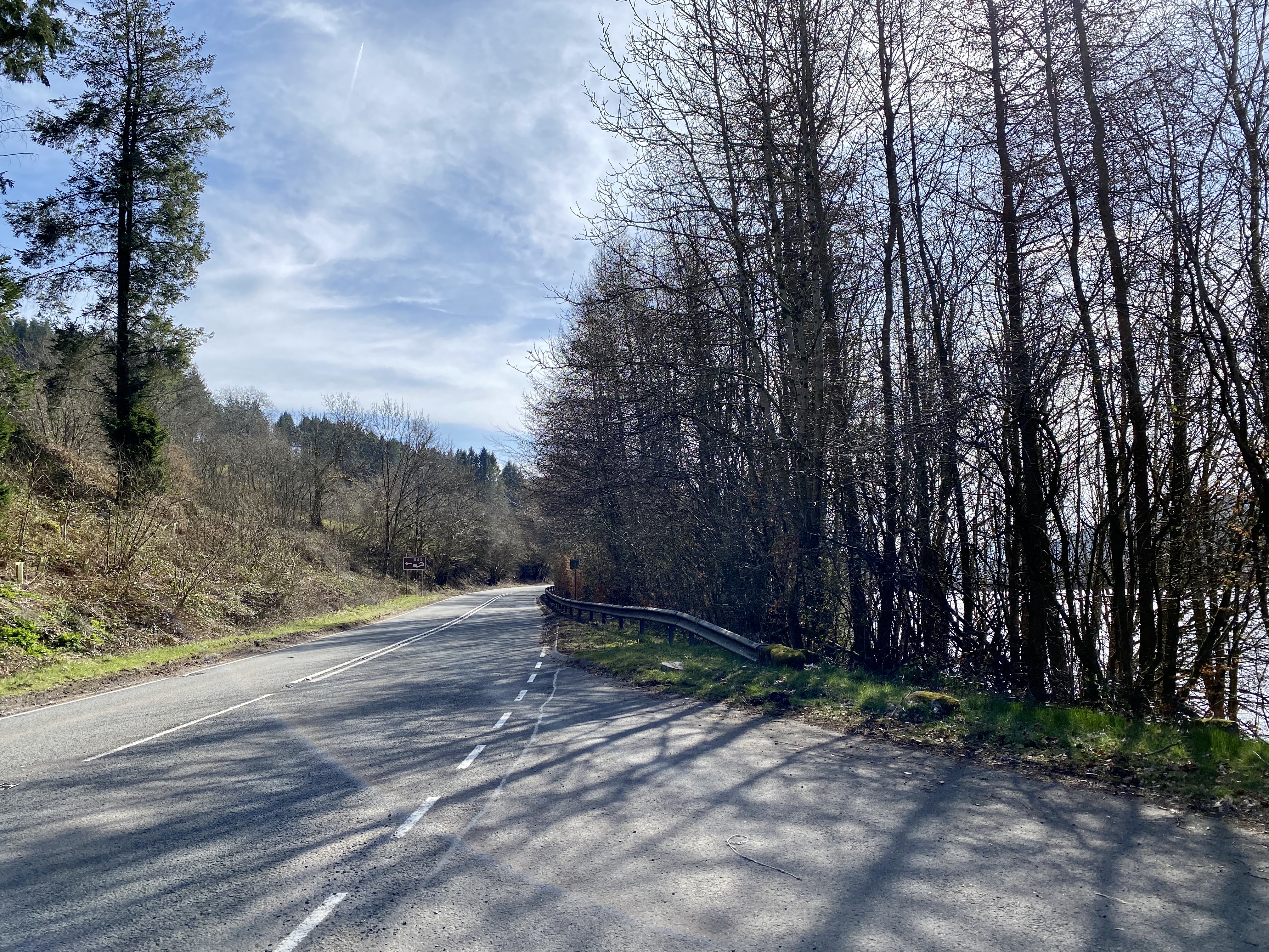
Atlantic Highway: Barnstaple to Newquay

86 miles2 hr 19 minPoint-to-point

Closest point on route: 0 miles from Barnstaple · straight-line distance

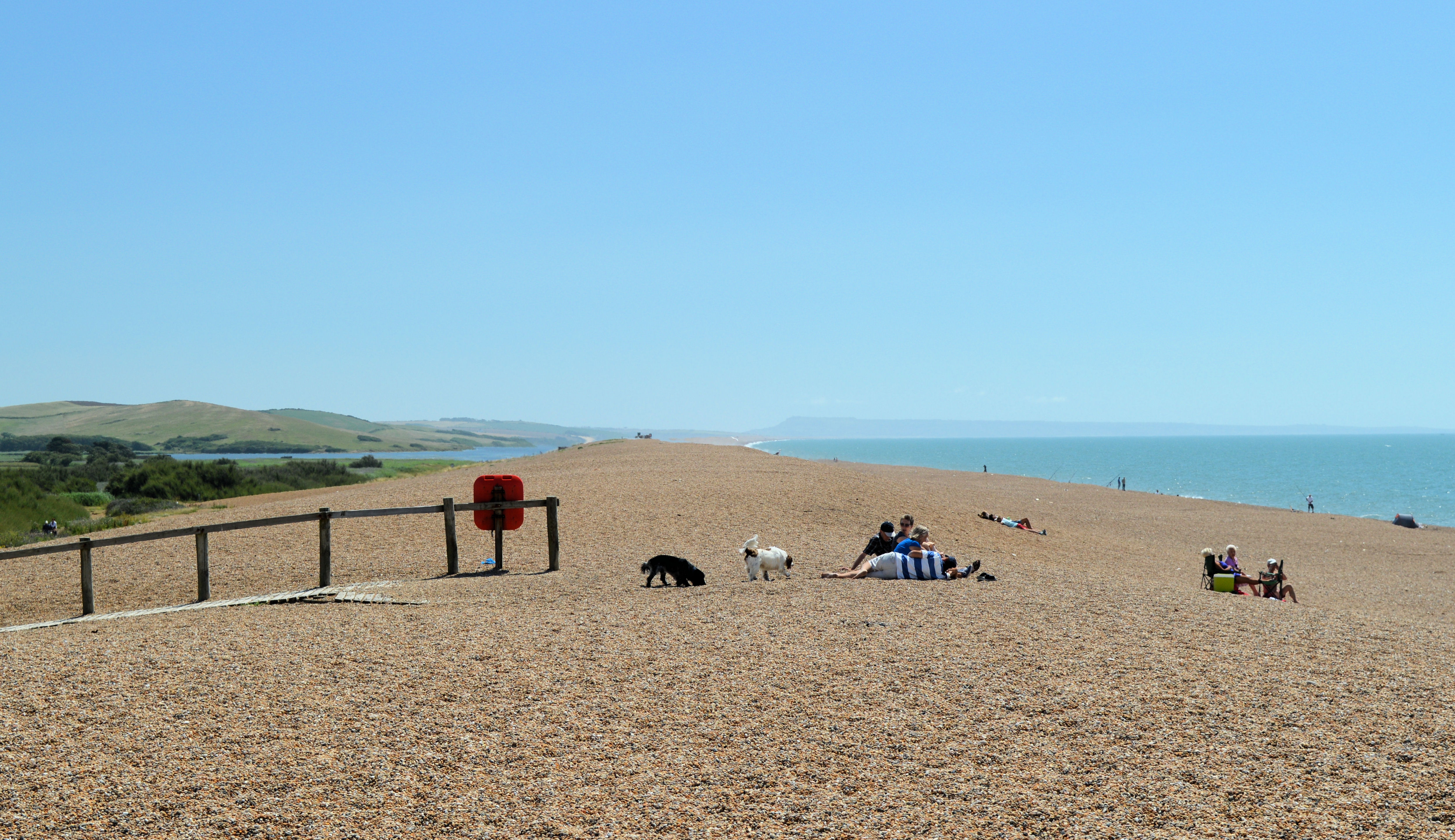
Follow the Atlantic Highway corridor south-west from Barnstaple through north Devon and Cornwall. The A39 is often inland: beaches and headlands are selected stops rather than a promise of continuous ocean views.

Along the way
  • Bude
  • North Cornwall
View drive
Somerset and Devon, England

Exmoor and North Devon Coast Grand Drive

46 miles1 hr 33 minPoint-to-point

Closest point on route: 0 miles from Barnstaple · straight-line distance

Take the A39 across Exmoor’s coastal country, then continue around North Devon through Combe Martin and Ilfracombe towards Barnstaple. This longer point-to-point outing combines steep wooded coast roads with more open western approaches.

Along the way
  • Porlock Hill
  • North Devon coast
View drive
Somerset and Devon, England

Exmoor Coast and High Country Loop

29 miles51 minCircular

Closest point on route: 14 miles from Barnstaple · straight-line distance

Link Porlock and Lynmouth before turning inland through Simonsbath and Exford for an Exmoor circuit. The route combines wooded coastal slopes with higher, more open country across the interior.

Along the way
  • Exmoor coast road
  • High Exmoor
View drive
Devon, England

Dartmoor: Moretonhampstead to Tavistock

22 miles42 minPoint-to-point

Closest point on route: 32 miles from Barnstaple · straight-line distance

Cross central Dartmoor from Moretonhampstead through Postbridge and the Two Bridges area, continuing towards Tavistock. Open commons and tor country give the drive its character between the lower town approaches.

Along the way
  • Central Dartmoor road
View drive
South Wales, Wales

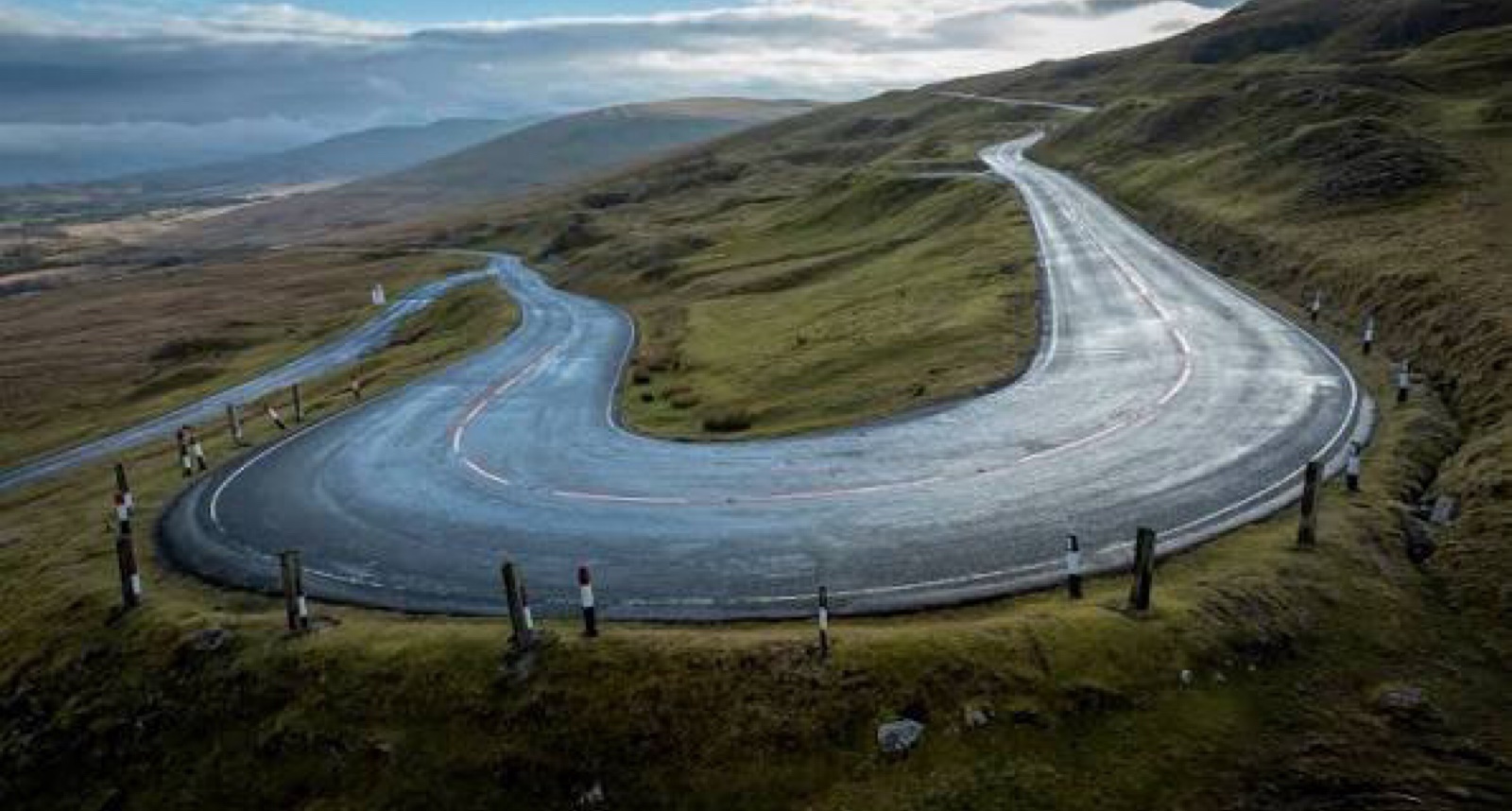
Bwlch and Rhigos Mountain Roads

16 miles35 minPoint-to-point

Closest point on route: 44 miles from Barnstaple · straight-line distance

Cross two contrasting South Wales mountain-road sections on the A4061. Climb from Nantymoel over the Bwlch into the Rhondda, pass through Treorchy and Treherbert, then rise over Rhigos towards Hirwaun. Open uplands alternate with settled valleys, making a varied point-to-point drive with a natural pause between the climbs.

Along the way
  • Bwlch crossing
  • Rhigos mountain road
View drive
Wales

The Cambrian Way: Cardiff to Llandudno Road Trip

173 miles4 hr 22 minPoint-to-point

Closest point on route: 47 miles from Barnstaple · straight-line distance

Drive the A470 spine of the Cambrian Way from Cardiff’s northern edge through the heart of Wales to Llandudno. The journey changes from busier southern approaches to uplands, valleys and the northern mountain country.

Along the way
  • Bannau Brycheiniog
  • Cambrian Mountains
  • Eryri
View drive
Black Mountain, Bannau Brycheiniog, Wales

Black Mountain Circular

53 miles1 hr 34 minCircular

Closest point on route: 49 miles from Barnstaple · straight-line distance

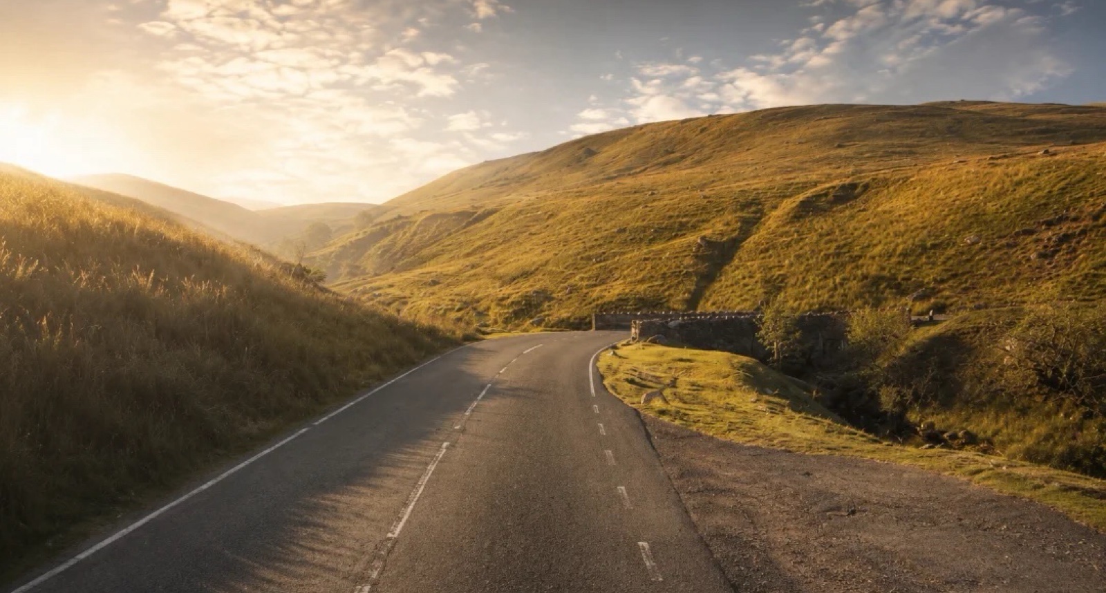
Starting at Craig-y-Nos Country Park, this circular drive heads towards Sennybridg. The scenery gives a rally-stage feel before you join the A4069 for the dramatic Black Mountain crossing, looping back through Ystradgynlais to complete the drive.

Along the way
  • Craig-y-Nos Country Park
  • Black Mountain Road, A4069:
View drive
Carmarthenshire and Powys, Wales

Brecon Beacons Grand Tour: Black Mountain and Epynt

119 miles3 hr 58 minCircular

Closest point on route: 49 miles from Barnstaple · straight-line distance

Spend a full driving day linking the Black Mountain, central Bannau Brycheiniog roads and the Epynt crossing. The A4069 and B4560 are the headline sections, with valleys and open uplands joining them into a substantial circuit.

Along the way
  • Black Mountain Pass
  • Llangynidr Mountain
View drive
Make a day of it.

Driving times exclude stops. Leave time for the views, check each route’s notes and make the journey your own.

Before you head out

Frequently asked questions

About the drives in this collection.

Which drive passes closest to this location?

Atlantic Highway: Barnstaple to Newquay has the closest point on a route in this selection, approximately 0 miles from Barnstaple in a straight line. This is not the distance to the route start or a driving-distance estimate.

Which is the shortest drive in this collection?

Bwlch and Rhigos Mountain Roads is the shortest by route distance, at 16 miles, with an estimated driving time of 35 min. Allow extra time for stops and the journey to the route.

Which is the longest drive in this collection?

The Cambrian Way: Cardiff to Llandudno Road Trip is the longest by route distance, at 173 miles. Its estimated driving time is 4 hr 22 min, excluding stops and travel to the route.

Are there circular drives in this collection?

3 routes start and finish in the same place, including Exmoor Coast and High Country Loop. Check the route map to find a convenient starting point.

Can I customise one of these drives?

Yes. Open a drive and choose Customise this route to edit a copy in the road trip planner. Sign in to customise; Premium is required to save your version. You can change stops or plan several days.