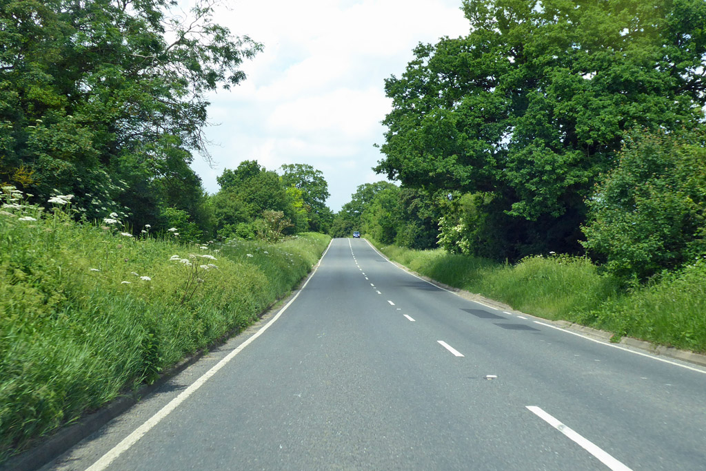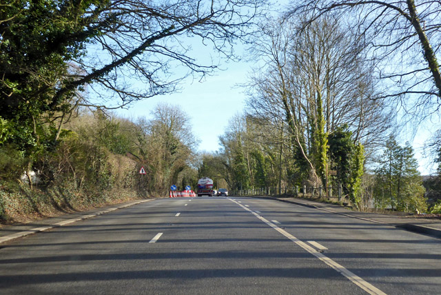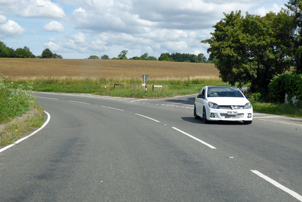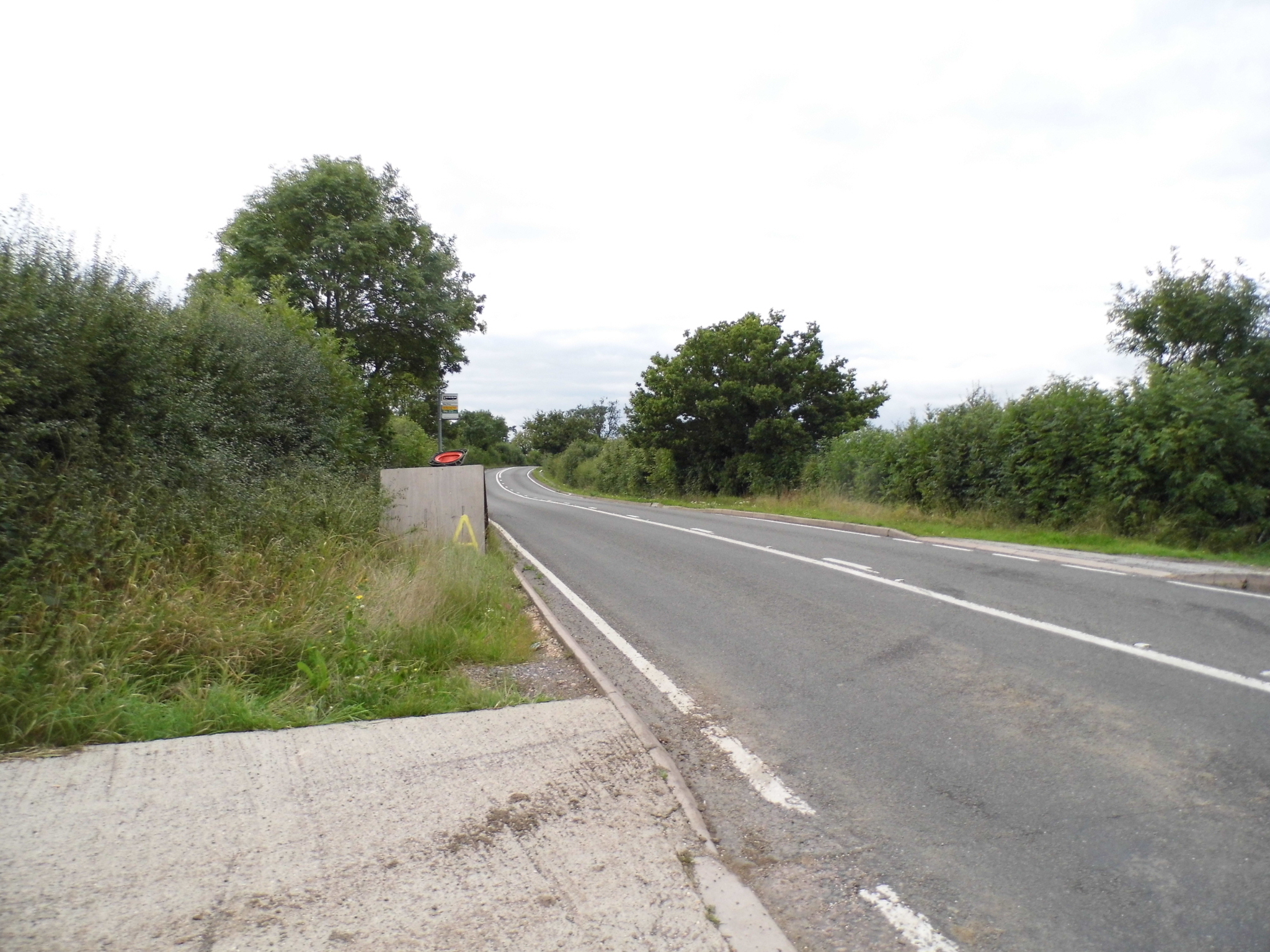
A little inspiration for the road

Scenic drives near Burnham-on-Crouch

Discover the closest published Remapped drives to Burnham-on-Crouch, England. Routes are ordered by their nearest point to the town centre and may start elsewhere. Distances to routes are approximate straight-line distances, not driving distances. Roads featured include A1099, A1060, A1114.

Search another place or use my location ↗

23–175 milesRoute distances
34–277 minEstimated driving
4Circular routes

Short on time? Essex Dengie Roads to Burnham-on-Crouch has the shortest estimated drive in this collection, at 34 minutes before stops.

8 drives to exploreAll collections →
Essex, England

Essex Dengie Roads to Burnham-on-Crouch

23 miles34 minPoint-to-point

Closest point on route: 0 miles from Burnham-on-Crouch · straight-line distance

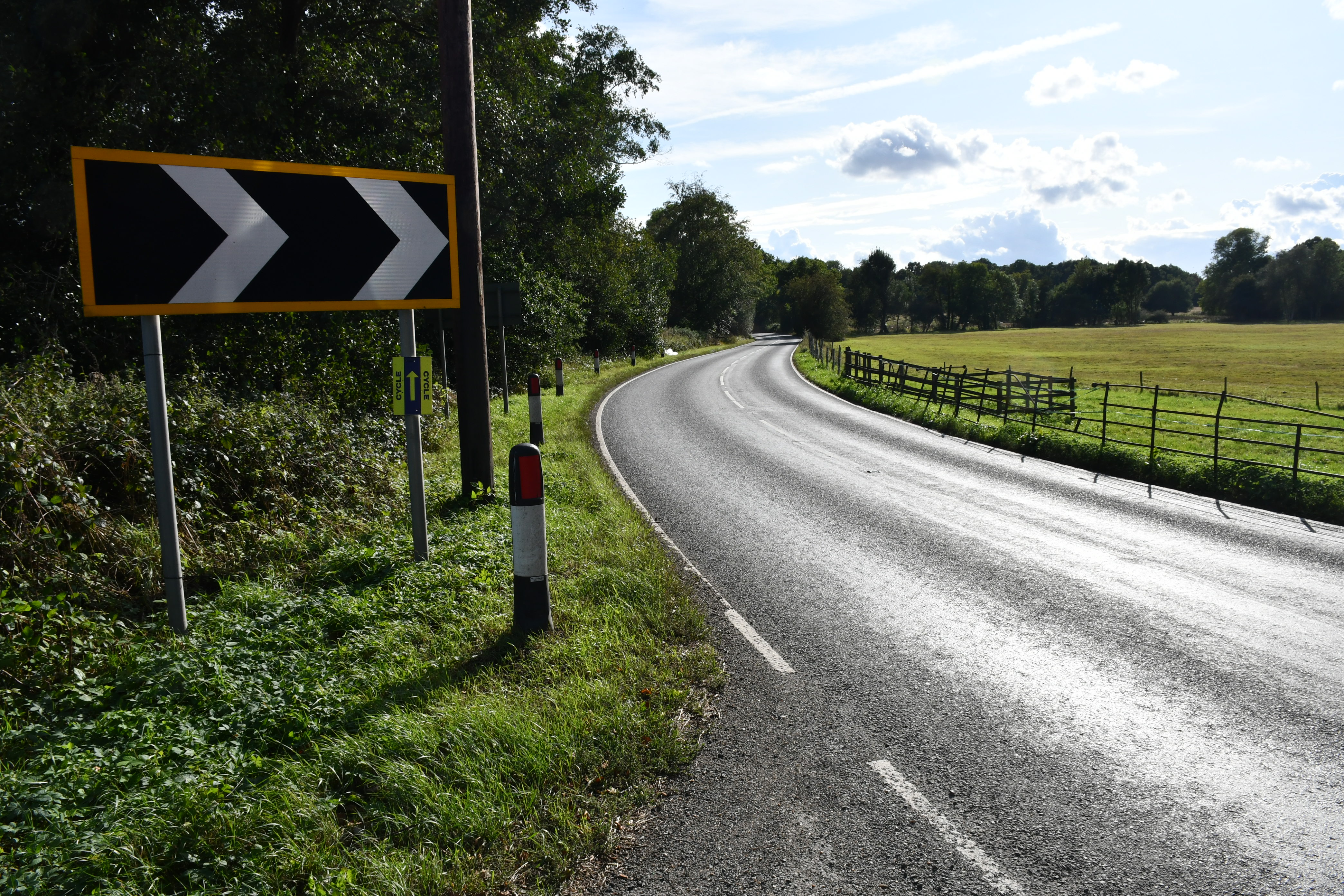
Head out from Chelmsford towards the Dengie peninsula and the much discussed Burnham bends road. The route finishes at Burnham-on-Crouch, where a riverside walk can round off the outing.

Along the way
  • Dengie peninsula road
View drive
Essex, England

Dedham Vale and Harwich Estuary Loop

38 miles1 hr 8 minCircular

Closest point on route: 18 miles from Burnham-on-Crouch · straight-line distance

Tour from Dedham Vale along the Stour-side towns towards historic Harwich, returning through the inland countryside and Colchester approaches. The circuit combines estuary stops with rural B-road links.

Along the way
  • Stour estuary
  • Historic Harwich
View drive
Essex, England

B1057 Finchingfield and North Essex Driving Loop

45 miles1 hr 30 minCircular

Closest point on route: 19 miles from Burnham-on-Crouch · straight-line distance

Build a full north Essex circuit around the B1057 to Finchingfield, continuing through Wethersfield towards Halstead before returning via the old road through Felsted. This loop is distinct from the existing Cambridge-to-Finchingfield through-drive.

Along the way
  • B1057 countryside
  • Finchingfield
View drive
Essex, England

B184 Essex Country Road: Ongar to Saffron Walden

28 miles57 minPoint-to-point

Closest point on route: 24 miles from Burnham-on-Crouch · straight-line distance

Follow the B184 corridor north from Ongar across rural Essex, through Dunmow and Thaxted towards Saffron Walden. Long countryside sections and successive villages make an accessible point-to-point alternative to a motorway run.

Along the way
  • Thaxted
View drive
Kent, England

Kent Downs: Maidstone to Canterbury

29 miles48 minPoint-to-point

Closest point on route: 26 miles from Burnham-on-Crouch · straight-line distance

Cross the Kent Downs corridor through Lenham and Charing, then follow the Chilham and Stour-side approach to Canterbury. This is a road-based link between towns rather than a motorway transfer.

Along the way
  • Chilham
View drive
Kent and East Sussex, England

Kent and Sussex Coast and Weald Grand Tour

175 miles4 hr 37 minCircular

Closest point on route: 27 miles from Burnham-on-Crouch · straight-line distance

Make an ambitious circuit linking the Kent coast, Romney Marsh, the Sussex cliffs and the Weald. This is a Remapped grand tour connecting documented scenic corridors, rather than a named official route.

Along the way
  • Dungeness and Romney Marsh
  • Beachy Head
  • The Weald
View drive
Kent, England

Canterbury, Stone Street and Elham Valley Loop

26 miles46 minCircular

Closest point on route: 27 miles from Burnham-on-Crouch · straight-line distance

Head south from Canterbury on the Stone Street side of the downs, then turn back through the Elham Valley. This creates a compact contrast between straighter ridge-road stretches and the valley villages.

Along the way
  • Elham Valley
  • Canterbury
View drive
Cambridgeshire and Essex, England

Cambridge to Finchingfield through the Essex Uplands

29 miles49 minPoint-to-point

Closest point on route: 28 miles from Burnham-on-Crouch · straight-line distance

Leave Cambridge for the rolling country of north Essex, linking Saffron Walden and Thaxted before finishing at Finchingfield. The roads here have a long-standing reputation among local touring drivers and riders.

Along the way
  • Thaxted
  • Finchingfield
View drive
Make a day of it.

Driving times exclude stops. Leave time for the views, check each route’s notes and make the journey your own.

Before you head out

Frequently asked questions

About the drives in this collection.

Which drive passes closest to this location?

Essex Dengie Roads to Burnham-on-Crouch has the closest point on a route in this selection, approximately 0 miles from Burnham-on-Crouch in a straight line. This is not the distance to the route start or a driving-distance estimate.

Which is the shortest drive in this collection?

Essex Dengie Roads to Burnham-on-Crouch is the shortest by route distance, at 23 miles, with an estimated driving time of 34 min. Allow extra time for stops and the journey to the route.

Which is the longest drive in this collection?

Kent and Sussex Coast and Weald Grand Tour is the longest by route distance, at 175 miles. Its estimated driving time is 4 hr 37 min, excluding stops and travel to the route.

Are there circular drives in this collection?

4 routes start and finish in the same place, including Dedham Vale and Harwich Estuary Loop. Check the route map to find a convenient starting point.

Can I customise one of these drives?

Yes. Open a drive and choose Customise this route to edit a copy in the road trip planner. Sign in to customise; Premium is required to save your version. You can change stops or plan several days.