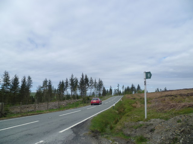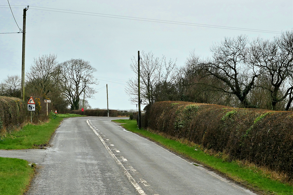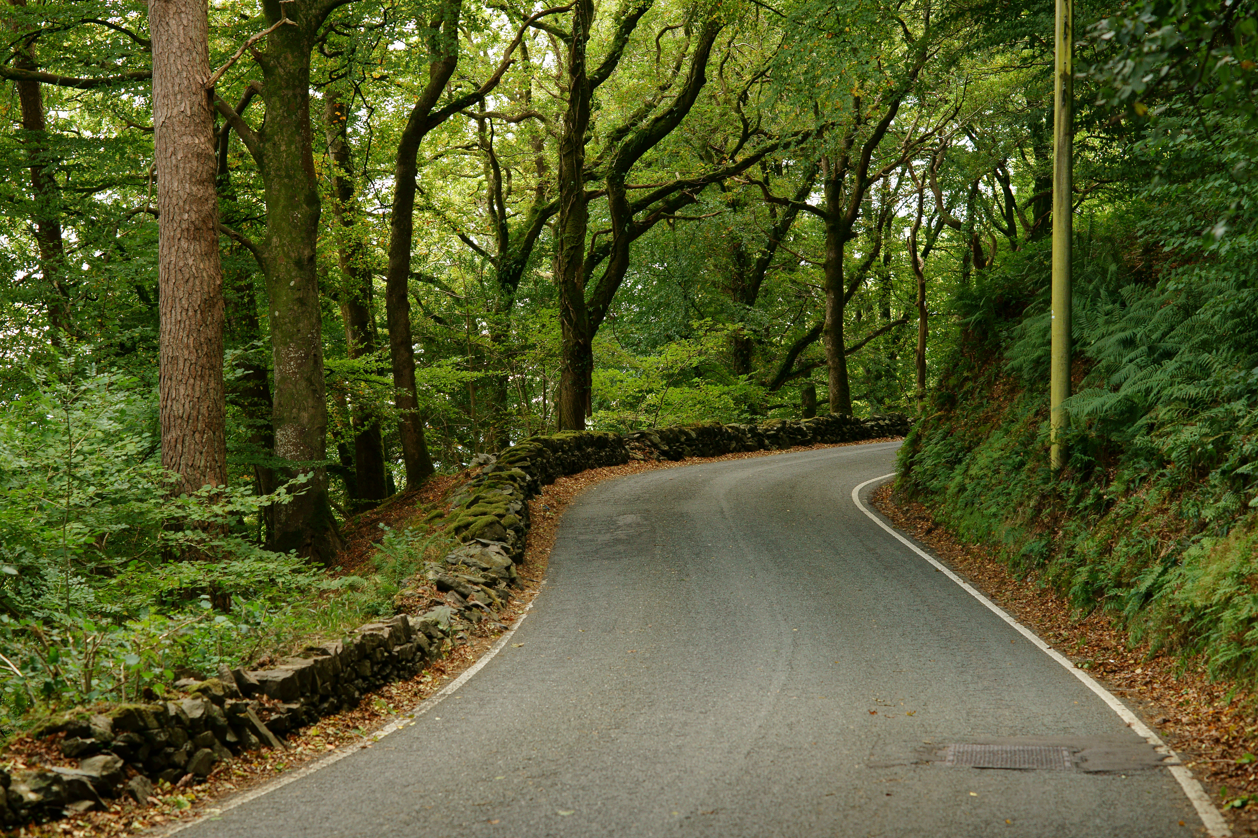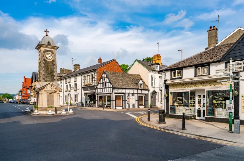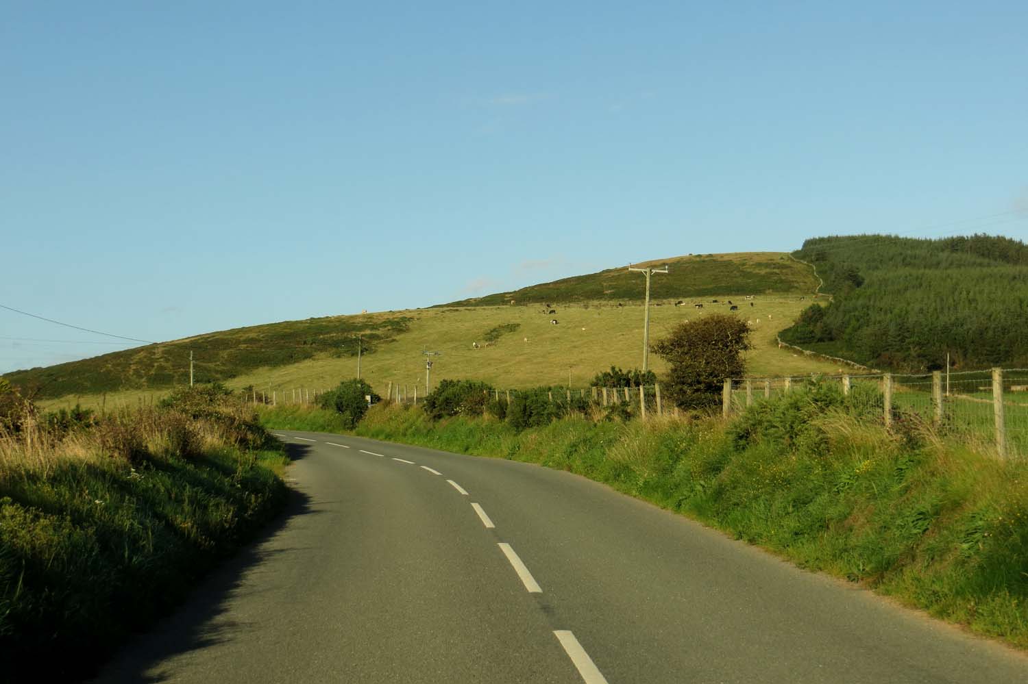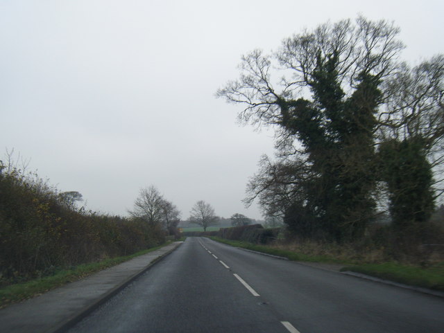
A little inspiration for the road

Scenic drives near Ruthin

Discover the closest published Remapped drives to Ruthin, Wales. Routes are ordered by their nearest point to the town centre and may start elsewhere. Distances to routes are approximate straight-line distances, not driving distances. Roads featured include A542, A5104, A525.

Search another place or use my location ↗

16–173 milesRoute distances
28–262 minEstimated driving
4Circular routes

Short on time? Horseshoe Pass to Ruthin has the shortest estimated drive in this collection, at 28 minutes before stops.

8 drives to exploreAll collections →
Denbighshire, Wales

Horseshoe Pass to Ruthin

16 miles28 minPoint-to-point

Closest point on route: 1 miles from Ruthin · straight-line distance

Climb from Llangollen over the Horseshoe Pass before continuing through Llandegla towards Ruthin. The open upland road forms the centrepiece, with lower valley approaches at either end.

Along the way
  • Horseshoe Pass
View drive
Denbighshire and Conwy, Wales

Horseshoe Pass and Ogwen Valley Grand Drive

58 miles1 hr 40 minPoint-to-point

Closest point on route: 1 miles from Ruthin · straight-line distance

Combine the Horseshoe Pass with the historic A5 route into Eryri and the Ogwen Valley. This longer point-to-point drive links two famous Welsh road landscapes without adding a return over the same pass.

Along the way
  • Horseshoe Pass
  • Ogwen Valley
View drive
Denbigh Moors, North Wales

The Evo Triangle

20 miles30 minCircular

Closest point on route: 10 miles from Ruthin · straight-line distance

Made famous by EVO magazine, this circular North Wales drive links the A543, B4501 and A5. Expect sweeping bends, open moorland and stretches of forest as you explore the countryside around Llyn Brenig. It’s a compact scenic loop, with opportunities to pause for lakeside views and a walk along the way.

Along the way
  • Denbigh Moors
View drive
Gwynedd and Powys, Wales

Bala and the Berwyn Crossing

22 miles32 minPoint-to-point

Closest point on route: 16 miles from Ruthin · straight-line distance

Cross the Berwyn country from Bala towards Llangynog, then continue through the Tanat-side countryside towards Llanfyllin. This point-to-point route builds around the high crossing and its changing valley approaches.

Along the way
  • Berwyn mountain road
View drive
Gwynedd and Powys, Wales

Bwlch y Groes and Lake Vyrnwy Mountain Loop

60 miles2 hr 24 minCircular

Closest point on route: 16 miles from Ruthin · straight-line distance

Link Bwlch y Groes with the Lake Vyrnwy roads and the B4391 Berwyn crossing for a demanding upland circuit. The route follows mountain through-roads rather than attraction entrances or a reservoir car-park tour.

Along the way
  • Bwlch y Groes
  • Lake Vyrnwy
View drive
Gwynedd, Wales

Snowdonia Coast, Crimea Pass and Bala Grand Loop

105 miles3 hr 1 minCircular

Closest point on route: 18 miles from Ruthin · straight-line distance

Link the Mawddach and Meirionnydd coast roads with the Ffestiniog uplands and the A4212 towards Bala. This southern Eryri circuit combines coast, reservoirs and mountain-country roads without duplicating the Llanberis pass loop.

Along the way
  • Mawddach Estuary
  • Crimea Pass
  • Llyn Celyn
View drive
Wales

The Cambrian Way: Cardiff to Llandudno Road Trip

173 miles4 hr 22 minPoint-to-point

Closest point on route: 19 miles from Ruthin · straight-line distance

Drive the A470 spine of the Cambrian Way from Cardiff’s northern edge through the heart of Wales to Llandudno. The journey changes from busier southern approaches to uplands, valleys and the northern mountain country.

Along the way
  • Bannau Brycheiniog
  • Cambrian Mountains
  • Eryri
View drive
Shropshire, England

North Shropshire Meres and Market Towns

24 miles39 minCircular

Closest point on route: 24 miles from Ruthin · straight-line distance

Start near Welshampton and make a circuit through Wem and Whitchurch across the north Shropshire countryside. This loop combines market-town approaches and farmland without adding an out-and-back road section into Ellesmere. A visit to Ellesmere’s Mere is an optional separate detour, rather than part of the driving loop.

Along the way
  • The Mere at Ellesmere
View drive
Make a day of it.

Driving times exclude stops. Leave time for the views, check each route’s notes and make the journey your own.

Before you head out

Frequently asked questions

About the drives in this collection.

Which drive passes closest to this location?

Horseshoe Pass to Ruthin has the closest point on a route in this selection, approximately 1 miles from Ruthin in a straight line. This is not the distance to the route start or a driving-distance estimate.

Which is the shortest drive in this collection?

Horseshoe Pass to Ruthin is the shortest by route distance, at 16 miles, with an estimated driving time of 28 min. Allow extra time for stops and the journey to the route.

Which is the longest drive in this collection?

The Cambrian Way: Cardiff to Llandudno Road Trip is the longest by route distance, at 173 miles. Its estimated driving time is 4 hr 22 min, excluding stops and travel to the route.

Are there circular drives in this collection?

4 routes start and finish in the same place, including The Evo Triangle. Check the route map to find a convenient starting point.

Can I customise one of these drives?

Yes. Open a drive and choose Customise this route to edit a copy in the road trip planner. Sign in to customise; Premium is required to save your version. You can change stops or plan several days.