A little inspiration for the road

Scenic drives near Clitheroe

Discover the closest published Remapped drives to Clitheroe, England. Routes are ordered by their nearest point to the town centre and may start elsewhere. Distances to routes are approximate straight-line distances, not driving distances. Roads featured include A683, B6480, B6478.

Search another place or use my location ↗

11–89 milesRoute distances
17–179 minEstimated driving
4Circular routes

Short on time? Greenhow and the Eastern Dales has the shortest estimated drive in this collection, at 17 minutes before stops.

8 drives to exploreAll collections →
Lancashire, England

Trough of Bowland and Ribble Valley Driving Loop

43 miles1 hr 25 minCircular

Closest point on route: 6 miles from Clitheroe · straight-line distance

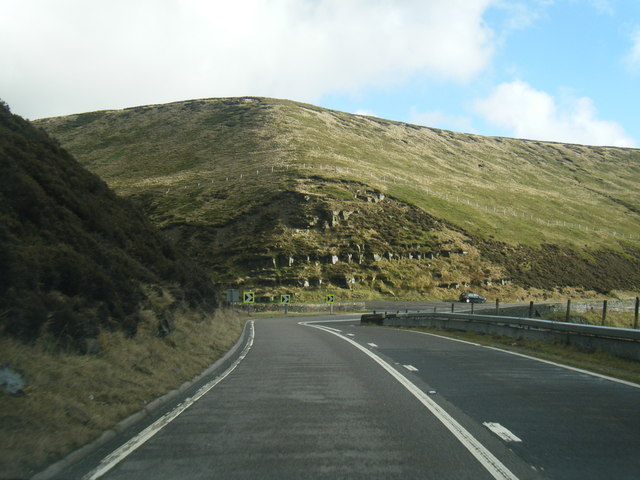
Build a complete outing around the Trough of Bowland, using the Ribble Valley and northern Bowland lanes to close the circuit. The open fell crossing is the centrepiece, with woodland and river-country approaches either side.

Along the way
  • Trough of Bowland
  • Ribble Valley
View drive
North Yorkshire, England

Settle to Ribblehead

12 miles17 minPoint-to-point

Closest point on route: 15 miles from Clitheroe · straight-line distance

Head north from Settle along Ribblesdale through Horton, finishing at the Ribblehead road junction. This shorter drive follows the valley into open Three Peaks country without adding a long return leg.

Along the way
  • Ribblesdale
View drive
Cumbria and North Yorkshire, England

Kingsdale and Dentdale Scenic Driving Loop

33 miles1 hr 20 minCircular

Closest point on route: 20 miles from Clitheroe · straight-line distance

Climb through Kingsdale and descend towards Dentdale before returning by Sedbergh and Kirkby Lonsdale. This is a concentrated western Dales circuit, with the smaller high road contrasting with the easier valley links.

Along the way
  • Kingsdale
  • Dentdale
View drive
North Yorkshire, England

Ribblehead and the High Road to Hawes

17 miles23 minPoint-to-point

Closest point on route: 20 miles from Clitheroe · straight-line distance

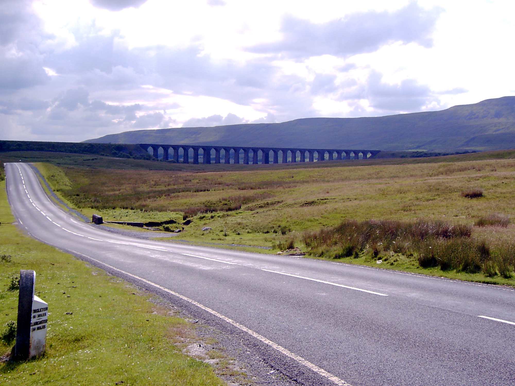
Take the B6255 from Ingleton across the Three Peaks country, passing Ribblehead before continuing to Hawes. Open limestone scenery and the high watershed supply the character of this point-to-point drive.

Along the way
  • Ribblehead road corridor
View drive
North Yorkshire and Cumbria, England

Yorkshire Dales Grand Tour: Buttertubs, Dentdale and Ribblehead

89 miles2 hr 59 minCircular

Closest point on route: 20 miles from Clitheroe · straight-line distance

Spend a full day linking the Dales’ best-known high roads and valley approaches. Dentdale and Kingsdale lead into Ribblehead before the route crosses Buttertubs and returns through Swaledale and Wensleydale.

Along the way
  • Buttertubs Pass
  • Ribblehead Viaduct
View drive
North Yorkshire, England

Wharfedale to Bishopdale

20 miles28 minPoint-to-point

Closest point on route: 21 miles from Clitheroe · straight-line distance

Follow the B6160 north through Wharfedale, passing Kettlewell and Buckden before crossing towards Bishopdale and Aysgarth. The route moves from settled valley country into a more enclosed upland crossing.

Along the way
  • Upper Wharfedale
  • Bishopdale crossing
View drive
North Yorkshire, England

Greenhow and the Eastern Dales

11 miles17 minPoint-to-point

Closest point on route: 22 miles from Clitheroe · straight-line distance

Climb west from Pateley Bridge towards Greenhow and cross the higher country into Wharfedale. The drive links two contrasting valleys through open, often exposed Dales scenery.

Along the way
  • Greenhow hill road
View drive
Cumbria and North Yorkshire, England

Tan Hill, Swaledale and Mallerstang Driving Loop

56 miles2 hr 14 minCircular

Closest point on route: 31 miles from Clitheroe · straight-line distance

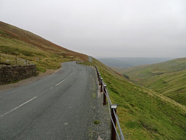
Link the Tan Hill road with Swaledale, Buttertubs and the B6259 through Mallerstang. The circuit shifts between exposed uplands and enclosed valley scenery, making a substantial Dales drive without town-centre sightseeing spurs.

Along the way
  • Tan Hill
  • Mallerstang
View drive
Make a day of it.

Driving times exclude stops. Leave time for the views, check each route’s notes and make the journey your own.

Before you head out

Frequently asked questions

About the drives in this collection.

Which drive passes closest to this location?

Trough of Bowland and Ribble Valley Driving Loop has the closest point on a route in this selection, approximately 6 miles from Clitheroe in a straight line. This is not the distance to the route start or a driving-distance estimate.

Which is the shortest drive in this collection?

Greenhow and the Eastern Dales is the shortest by route distance, at 11 miles, with an estimated driving time of 17 min. Allow extra time for stops and the journey to the route.

Which is the longest drive in this collection?

Yorkshire Dales Grand Tour: Buttertubs, Dentdale and Ribblehead is the longest by route distance, at 89 miles. Its estimated driving time is 2 hr 59 min, excluding stops and travel to the route.

Are there circular drives in this collection?

4 routes start and finish in the same place, including Trough of Bowland and Ribble Valley Driving Loop. Check the route map to find a convenient starting point.

Can I customise one of these drives?

Yes. Open a drive and choose Customise this route to edit a copy in the road trip planner. Sign in to customise; Premium is required to save your version. You can change stops or plan several days.