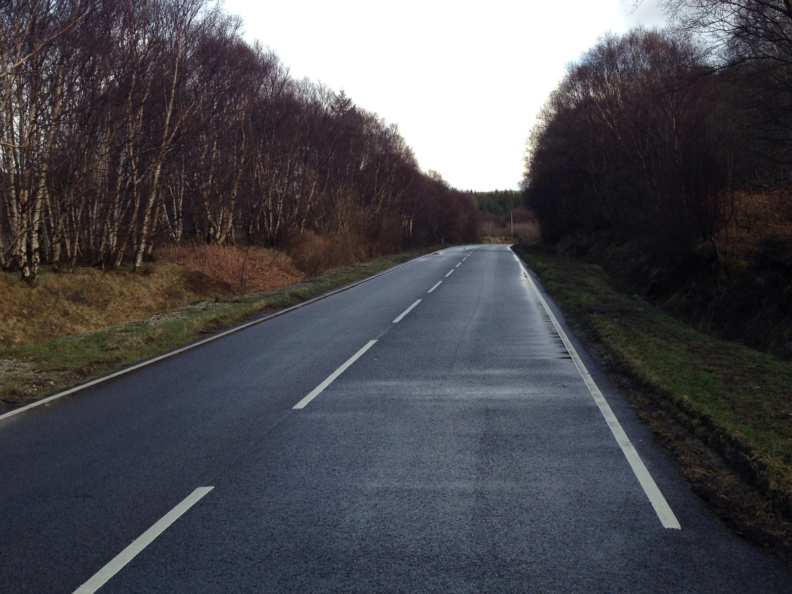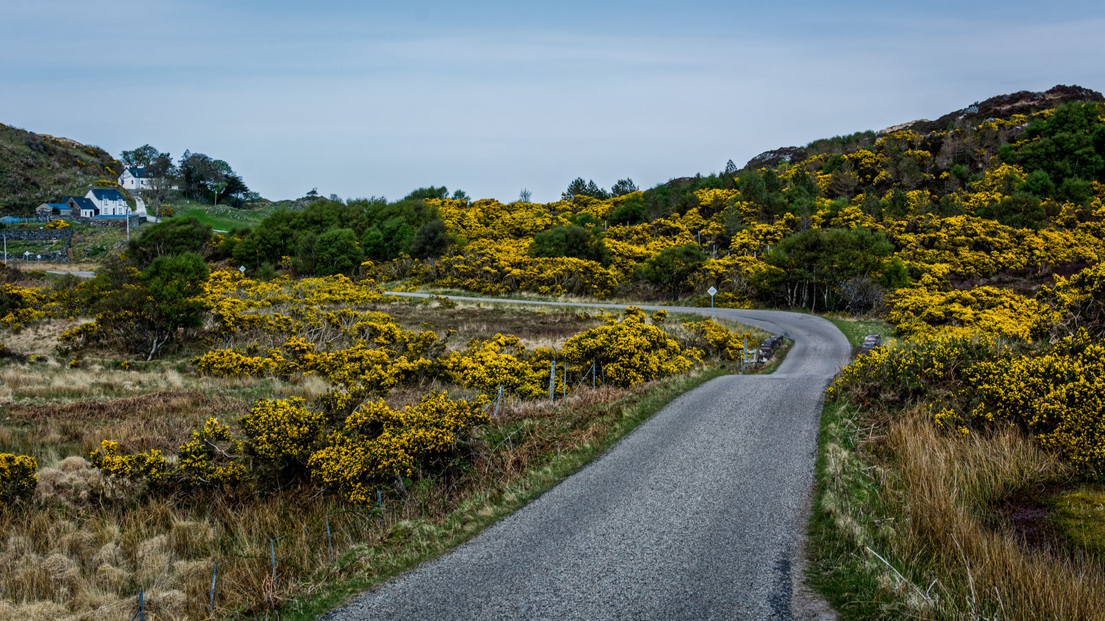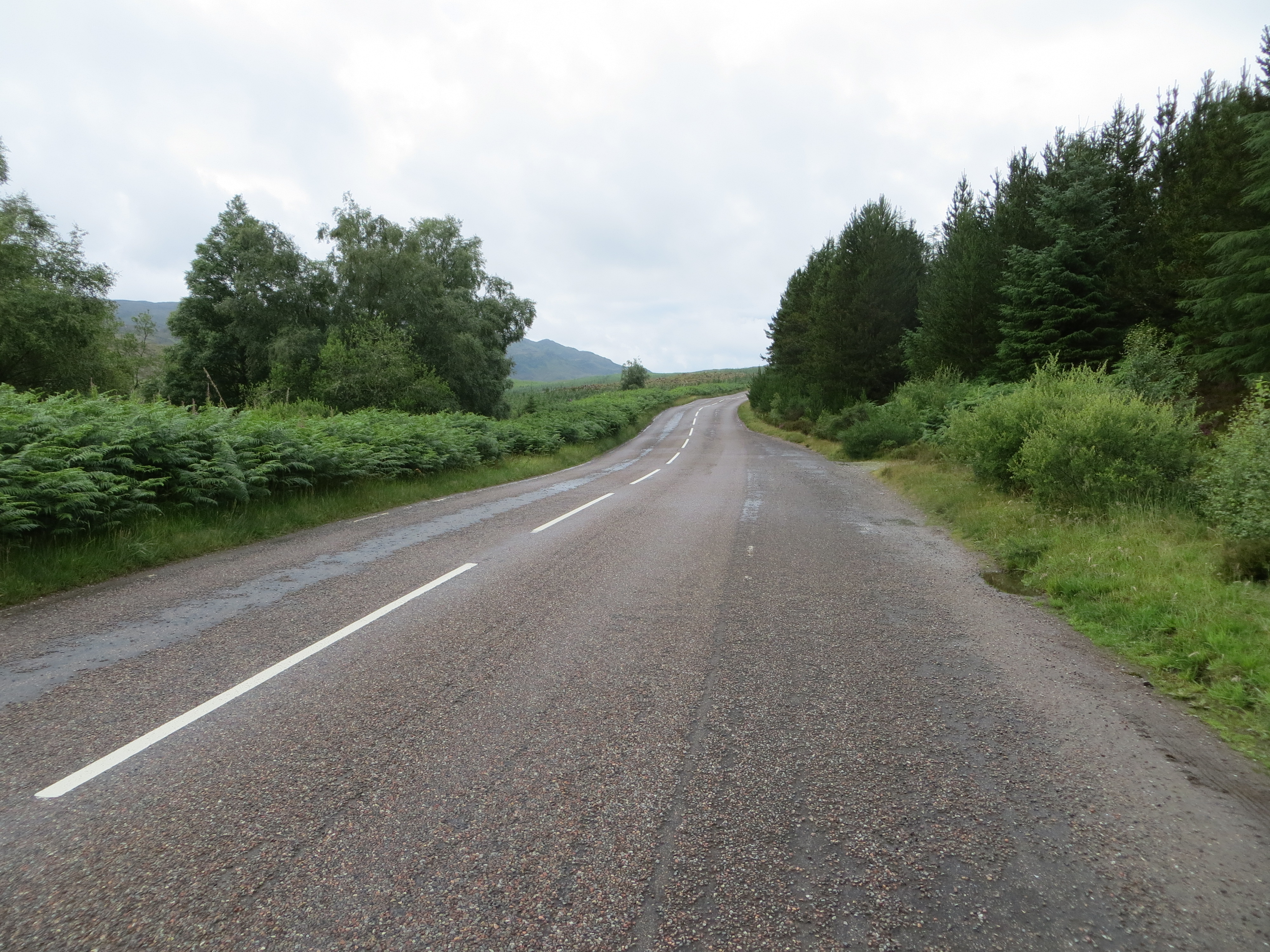
A little inspiration for the road

Scenic drives near Fort William

Discover the closest published Remapped drives to Fort William, Scotland. Routes are ordered by their nearest point to the town centre and may start elsewhere. Distances to routes are approximate straight-line distances, not driving distances. Roads featured include A82, B848, B861.

Search another place or use my location ↗

24–99 milesRoute distances
31–148 minEstimated driving
0Circular routes

Short on time? Rannoch Moor and Glencoe Crossing has the shortest estimated drive in this collection, at 31 minutes before stops.

8 drives to exploreAll collections →
Highland, Scotland

A82 Great Glen: Fort William to Inverness

66 miles1 hr 53 minPoint-to-point

Closest point on route: 0 miles from Fort William · straight-line distance

Follow the Great Glen north beside the long chain of Highland lochs. This is the western-shore A82 drive, contrasting with the quieter south Loch Ness route: broad glen scenery, wooded narrows and an unmistakable arrival beside Loch Ness.

Along the way
  • Loch Ness
  • Glengarry
View drive
Highland, Scotland

A86 Loch Laggan and A889 Dalwhinnie Drive

36 miles1 hr 1 minPoint-to-point

Closest point on route: 9 miles from Fort William · straight-line distance

Take the A86 across Lochaber and Badenoch, then climb the A889 towards Dalwhinnie. Lochside bends give way to a more open upland finish, making a compact alternative to the busier trunk-road touring corridors.

Along the way
  • Loch Laggan
View drive
Argyll and Highland, Scotland

Rannoch Moor and Glencoe Crossing

24 miles31 minPoint-to-point

Closest point on route: 9 miles from Fort William · straight-line distance

Travel north from Bridge of Orchy across the open setting of Rannoch Moor before entering the mountain corridor of Glen Coe. This point-to-point A82 drive offers a clear change from wide moorland to steep glen scenery. Keep the pace unhurried, allow for traffic, and choose any walks or viewpoints as separately planned stops.

Along the way
  • Rannoch Moor
  • Glen Coe
View drive
Highland, Scotland

A861 Ardnamurchan and Sunart Scenic Drive

38 miles1 hr 31 minPoint-to-point

Closest point on route: 14 miles from Fort William · straight-line distance

Take the long A861 arc from Lochailort through Moidart and Sunart to Ardgour. This is an all-road journey around the peninsula’s eastern side, with coastal reaches, woodland and remote glen sections rather than a lighthouse excursion.

Along the way
  • Loch Sunart
  • Glenuig
View drive
Highland, Scotland

Glen Shiel and the Road to Lochalsh

49 miles1 hr 6 minPoint-to-point

Closest point on route: 19 miles from Fort William · straight-line distance

Take the A87 west from Invergarry through the upland loch country and Glen Shiel towards Lochalsh. The route shifts from inland mountain scenery to sea-loch approaches near the west coast.

Along the way
  • Glen Shiel
View drive
Highland and Isle of Skye, Scotland

A87 Road to Skye: Invergarry to Uig

99 miles2 hr 28 minPoint-to-point

Closest point on route: 19 miles from Fort William · straight-line distance

Follow the A87 from the Great Glen over the western Highlands and across the Skye Bridge. Glen Shiel supplies the mountain drama before the road opens onto Skye, with a longer island run north towards Uig.

Along the way
  • Glen Shiel
  • Skye Bridge
View drive
Perthshire and Argyll, Scotland

A85 Loch Earn and Pass of Brander to Oban

64 miles1 hr 50 minPoint-to-point

Closest point on route: 26 miles from Fort William · straight-line distance

Follow the A85 west from Loch Earn through the central Highlands and the Pass of Brander towards Oban. Lochside stretches, open glens and the constrained Awe crossing create a varied point-to-point touring drive.

Along the way
  • Loch Earn
  • Pass of Brander
View drive
Highland, Scotland

South Loch Ness Highland Road

33 miles50 minPoint-to-point

Closest point on route: 28 miles from Fort William · straight-line distance

Use the quieter southern side of Loch Ness from Fort Augustus towards Foyers and Dores, finishing at Inverness. Higher inland stretches alternate with wooded lochside country rather than continuous water views.

Along the way
  • South Loch Ness uplands
View drive
Make a day of it.

Driving times exclude stops. Leave time for the views, check each route’s notes and make the journey your own.

Before you head out

Frequently asked questions

About the drives in this collection.

Which drive passes closest to this location?

A82 Great Glen: Fort William to Inverness has the closest point on a route in this selection, approximately 0 miles from Fort William in a straight line. This is not the distance to the route start or a driving-distance estimate.

Which is the shortest drive in this collection?

Rannoch Moor and Glencoe Crossing is the shortest by route distance, at 24 miles, with an estimated driving time of 31 min. Allow extra time for stops and the journey to the route.

Which is the longest drive in this collection?

A87 Road to Skye: Invergarry to Uig is the longest by route distance, at 99 miles. Its estimated driving time is 2 hr 28 min, excluding stops and travel to the route.

Are there circular drives in this collection?

There are no circular routes in this collection currently. Explore our circular driving routes for drives that return to their starting point.

Can I customise one of these drives?

Yes. Open a drive and choose Customise this route to edit a copy in the road trip planner. Sign in to customise; Premium is required to save your version. You can change stops or plan several days.