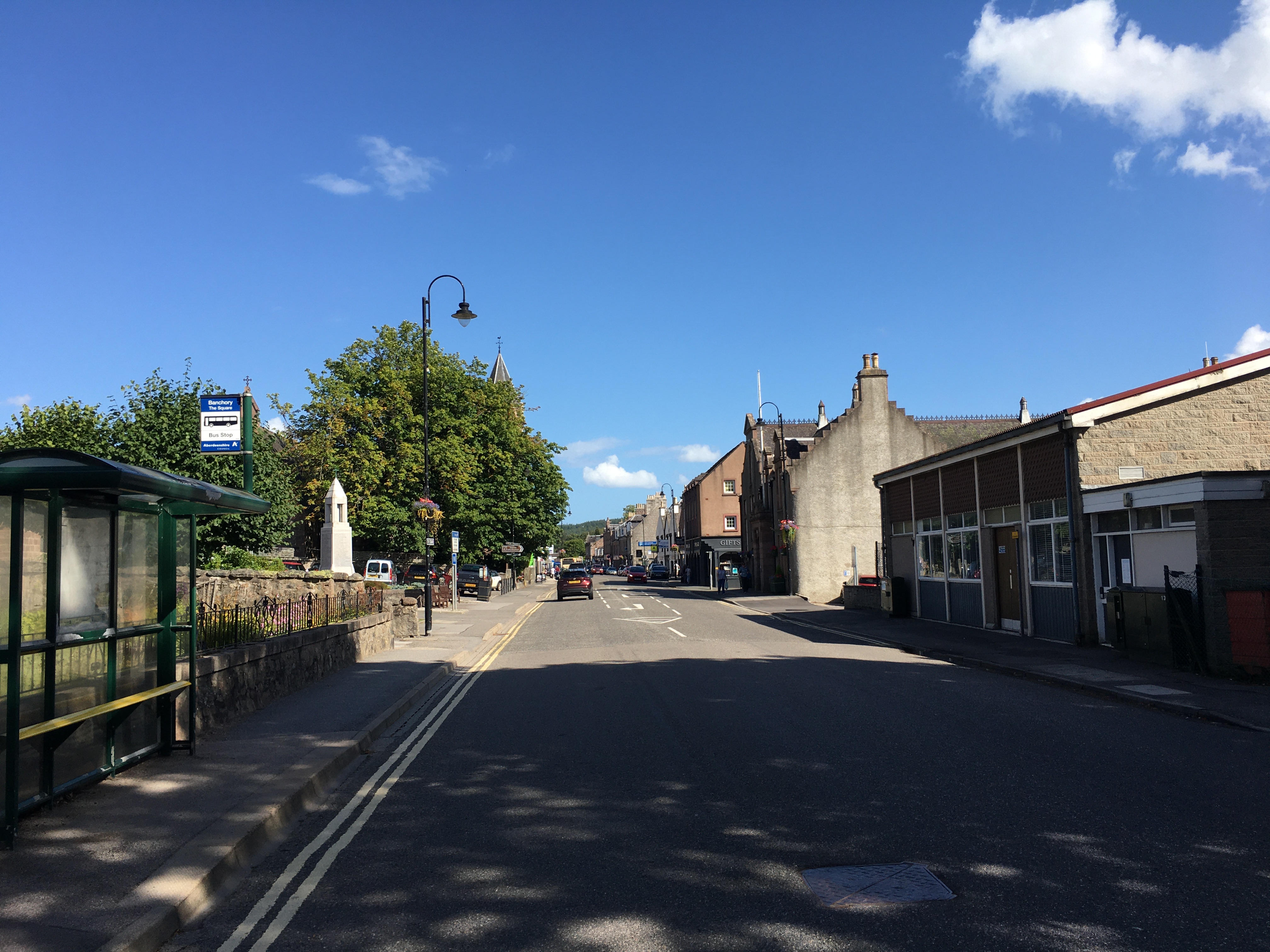
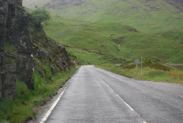
A little inspiration for the road

Scenic drives near Aberdeen

Discover the closest published Remapped drives to Aberdeen, Scotland. Routes are ordered by their nearest point to the town centre and may start elsewhere. Distances to routes are approximate straight-line distances, not driving distances. Roads featured include A956, B9077, A957.

Search another place or use my location ↗

33–205 milesRoute distances
47–306 minEstimated driving
2Circular routes

Short on time? Glenshee and the Cairnwell Crossing has the shortest estimated drive in this collection, at 47 minutes before stops.

8 drives to exploreAll collections →
Aberdeenshire and Moray, Scotland

North East 250: Speyside, Coast and Cairngorms

205 miles5 hr 6 minCircular

Closest point on route: 0 miles from Aberdeen · straight-line distance

Follow the core North East 250 touring circuit through Deeside, the Cairngorms, Speyside and the Moray and North Sea coasts. This version excludes the out-and-back Glenshee gateway and town-centre stop spurs. Choose nearby towns and attractions independently from the driving line.

Along the way
  • The Lecht
  • Moray Firth villages
  • North Sea coast
View drive
Aberdeenshire, Scotland

Royal Deeside: Braemar to Banchory

40 miles57 minPoint-to-point

Closest point on route: 17 miles from Aberdeen · straight-line distance

Follow the Dee east from Braemar through Ballater and Aboyne towards Banchory. The A93 moves from higher Cairngorms country into a more wooded valley landscape with several natural places for a town break.

Along the way
  • Deeside valley
View drive
Aberdeenshire and Moray, Scotland

The Lecht and Eastern Cairngorms

38 miles50 minPoint-to-point

Closest point on route: 36 miles from Aberdeen · straight-line distance

Cross the eastern Cairngorms from Ballater through the Lecht towards Tomintoul and Grantown-on-Spey. High, exposed road sections alternate with valleys and settled approaches on this substantial upland drive.

Along the way
  • Lecht crossing
View drive
Perthshire and Cairngorms, Scotland

SnowRoads Scenic Route: Blairgowrie to Grantown-on-Spey

85 miles2 hr 26 minPoint-to-point

Closest point on route: 37 miles from Aberdeen · straight-line distance

Drive the full SnowRoads corridor across the eastern Cairngorms, linking the Cairnwell and Lecht crossings. This is the established long touring route, distinct from the shorter single-pass drives, with open high roads and wooded Deeside between them.

Along the way
  • Cairnwell Pass
  • The Lecht
View drive
Perthshire and Aberdeenshire, Scotland

Glenshee and the Cairnwell Crossing

34 miles47 minPoint-to-point

Closest point on route: 50 miles from Aberdeen · straight-line distance

Leave Blairgowrie on the A93 and follow the valley north into Glenshee before crossing the Cairnwell towards Braemar. The route builds gradually from lower countryside into a high, open mountain-road setting. Make it a point-to-point day outing with an allowance for breaks rather than a short return trip.

Along the way
  • Glenshee and Cairnwell
View drive
Perthshire, Scotland

Loch Tay and Sma’ Glen Loop

72 miles1 hr 48 minCircular

Closest point on route: 75 miles from Aberdeen · straight-line distance

Make a longer Perthshire circuit along Loch Tay to Kenmore and Aberfeldy, returning through Amulree and the Sma’ Glen side of the hills. Lochside sections alternate with upland roads and gentler valley country.

Along the way
  • Loch Tay
  • Sma’ Glen
View drive
Highland, Scotland

A86 Loch Laggan and A889 Dalwhinnie Drive

36 miles1 hr 1 minPoint-to-point

Closest point on route: 81 miles from Aberdeen · straight-line distance

Take the A86 across Lochaber and Badenoch, then climb the A889 towards Dalwhinnie. Lochside bends give way to a more open upland finish, making a compact alternative to the busier trunk-road touring corridors.

Along the way
  • Loch Laggan
View drive
Highland, Scotland

South Loch Ness Highland Road

33 miles50 minPoint-to-point

Closest point on route: 83 miles from Aberdeen · straight-line distance

Use the quieter southern side of Loch Ness from Fort Augustus towards Foyers and Dores, finishing at Inverness. Higher inland stretches alternate with wooded lochside country rather than continuous water views.

Along the way
  • South Loch Ness uplands
View drive
Make a day of it.

Driving times exclude stops. Leave time for the views, check each route’s notes and make the journey your own.

Before you head out

Frequently asked questions

About the drives in this collection.

Which drive passes closest to this location?

North East 250: Speyside, Coast and Cairngorms has the closest point on a route in this selection, approximately 0 miles from Aberdeen in a straight line. This is not the distance to the route start or a driving-distance estimate.

Which is the shortest drive in this collection?

South Loch Ness Highland Road is the shortest by route distance, at 33 miles, with an estimated driving time of 50 min. Allow extra time for stops and the journey to the route.

Which is the longest drive in this collection?

North East 250: Speyside, Coast and Cairngorms is the longest by route distance, at 205 miles. Its estimated driving time is 5 hr 6 min, excluding stops and travel to the route.

Are there circular drives in this collection?

2 routes start and finish in the same place, including North East 250: Speyside, Coast and Cairngorms. Check the route map to find a convenient starting point.

Can I customise one of these drives?

Yes. Open a drive and choose Customise this route to edit a copy in the road trip planner. Sign in to customise; Premium is required to save your version. You can change stops or plan several days.