A little inspiration for the road

Scenic drives near Hexham

Discover the closest published Remapped drives to Hexham, England. Routes are ordered by their nearest point to the town centre and may start elsewhere. Distances to routes are approximate straight-line distances, not driving distances. Roads featured include A6079, A69, B6318.

Search another place or use my location ↗

14–57 milesRoute distances
20–134 minEstimated driving
4Circular routes

Short on time? Howgill Edge and the Lune Valley has the shortest estimated drive in this collection, at 20 minutes before stops.

8 drives to exploreAll collections →
Northumberland, England

Hadrian’s Wall Military Road Loop

39 miles58 minCircular

Closest point on route: 0 miles from Hexham · straight-line distance

Use Hexham as the base for a circuit beside Hadrian’s Wall. Join the B6318 Military Road at Chollerford, follow the open country towards the Greenhead area, then return through Haltwhistle and the Tyne corridor. The loop turns onto the return roads at their junctions, without an out-and-back drive into Greenhead village. Forts and wall walks are separate optional visits.

Along the way
  • Military Road landscape
  • Walltown area
View drive
Cumbria and Northumberland, England

Hartside and the North Pennines

38 miles59 minPoint-to-point

Closest point on route: 6 miles from Hexham · straight-line distance

Follow the A686 from the Eden Valley over Hartside to Alston, then continue through the North Pennines towards Haydon Bridge. This is a substantial point-to-point crossing, combining the climb’s unfolding views with open high-country stretches beyond Alston. Set aside time for a break and plan your onward or return journey.

Along the way
  • Hartside crossing
  • Alston
View drive
County Durham and Cumbria, England

North Pennines: Teesdale and Weardale Driving Loop

57 miles1 hr 54 minCircular

Closest point on route: 15 miles from Hexham · straight-line distance

Cross the high B6277 through Teesdale, then return through Weardale and Nenthead. This circuit concentrates on the eastern North Pennines, pairing open high roads with the valley settlements rather than repeating the Hartside approach.

Along the way
  • Teesdale
  • Weardale
View drive
Cumbria and North Yorkshire, England

Tan Hill, Swaledale and Mallerstang Driving Loop

56 miles2 hr 14 minCircular

Closest point on route: 33 miles from Hexham · straight-line distance

Link the Tan Hill road with Swaledale, Buttertubs and the B6259 through Mallerstang. The circuit shifts between exposed uplands and enclosed valley scenery, making a substantial Dales drive without town-centre sightseeing spurs.

Along the way
  • Tan Hill
  • Mallerstang
View drive
Northumberland, England

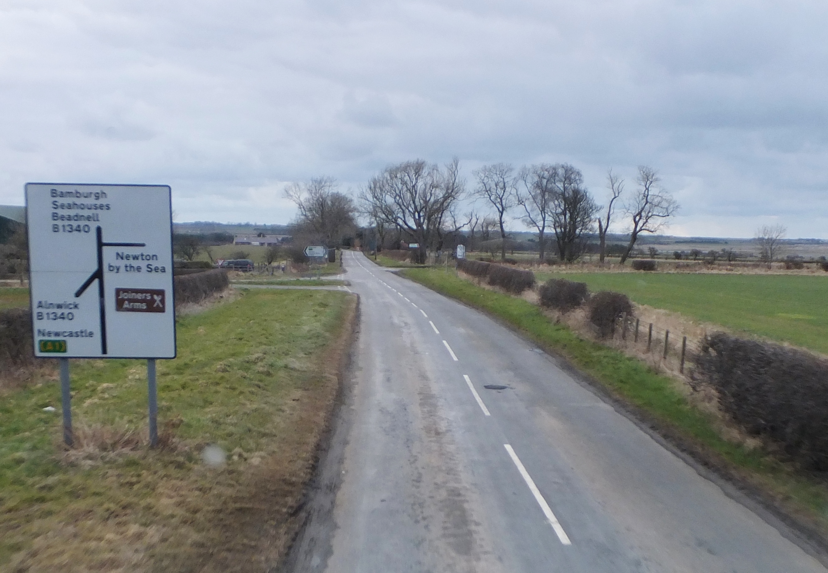
Northumberland Castles and Coast Loop

34 miles55 minCircular

Closest point on route: 35 miles from Hexham · straight-line distance

Make a broad circuit from Alnwick through the coastal villages to Seahouses and Bamburgh. Rural links alternate with busy seaside approaches; the route is a touring loop rather than continuous sea views.

Along the way
  • Bamburgh coast
  • Craster approach
View drive
Cumbria, England

Howgill Edge and the Lune Valley

14 miles20 minPoint-to-point

Closest point on route: 36 miles from Hexham · straight-line distance

Follow the A683 north from Sedbergh towards Kirkby Stephen, tracing the eastern side of the Howgills and the upper Lune corridor. The route offers a broad valley setting with open hillside sections between the towns.

Along the way
  • Howgill road corridor
View drive
Cumbria, England

Kirkstone Pass and Ullswater

22 miles35 minPoint-to-point

Closest point on route: 38 miles from Hexham · straight-line distance

Cross Kirkstone Pass on the A592 before descending towards Glenridding and continuing beside Ullswater to Pooley Bridge. High fell scenery gives way to the lake corridor on this varied point-to-point route.

Along the way
  • Kirkstone Pass
  • Ullswater road
View drive
North Yorkshire, England

Swaledale from Richmond to Muker

19 miles29 minPoint-to-point

Closest point on route: 40 miles from Hexham · straight-line distance

Follow the B6270 west through Swaledale, linking Richmond with Reeth and the upper dale around Muker. Stone walls, riverside country and the narrowing valley give the journey a steady change of scale.

Along the way
  • Swaledale
View drive
Make a day of it.

Driving times exclude stops. Leave time for the views, check each route’s notes and make the journey your own.

Before you head out

Frequently asked questions

About the drives in this collection.

Which drive passes closest to this location?

Hadrian’s Wall Military Road Loop has the closest point on a route in this selection, approximately 0 miles from Hexham in a straight line. This is not the distance to the route start or a driving-distance estimate.

Which is the shortest drive in this collection?

Howgill Edge and the Lune Valley is the shortest by route distance, at 14 miles, with an estimated driving time of 20 min. Allow extra time for stops and the journey to the route.

Which is the longest drive in this collection?

North Pennines: Teesdale and Weardale Driving Loop is the longest by route distance, at 57 miles. Its estimated driving time is 1 hr 54 min, excluding stops and travel to the route.

Are there circular drives in this collection?

4 routes start and finish in the same place, including Hadrian’s Wall Military Road Loop. Check the route map to find a convenient starting point.

Can I customise one of these drives?

Yes. Open a drive and choose Customise this route to edit a copy in the road trip planner. Sign in to customise; Premium is required to save your version. You can change stops or plan several days.